Chiwaukum Double Crown: Big C & Snowgrass
Despite their proximity to so many other mountains the Chiwaukum's have a distinct character; with wide tundra meadows and rugged dark rock, they feel unique even within the cascades.
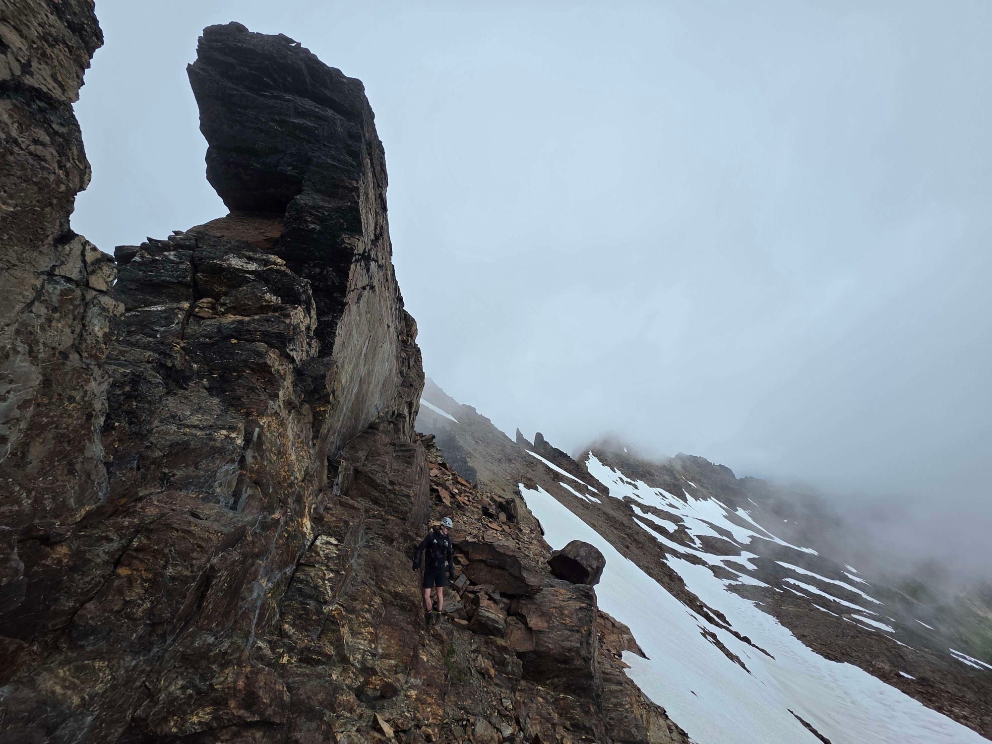
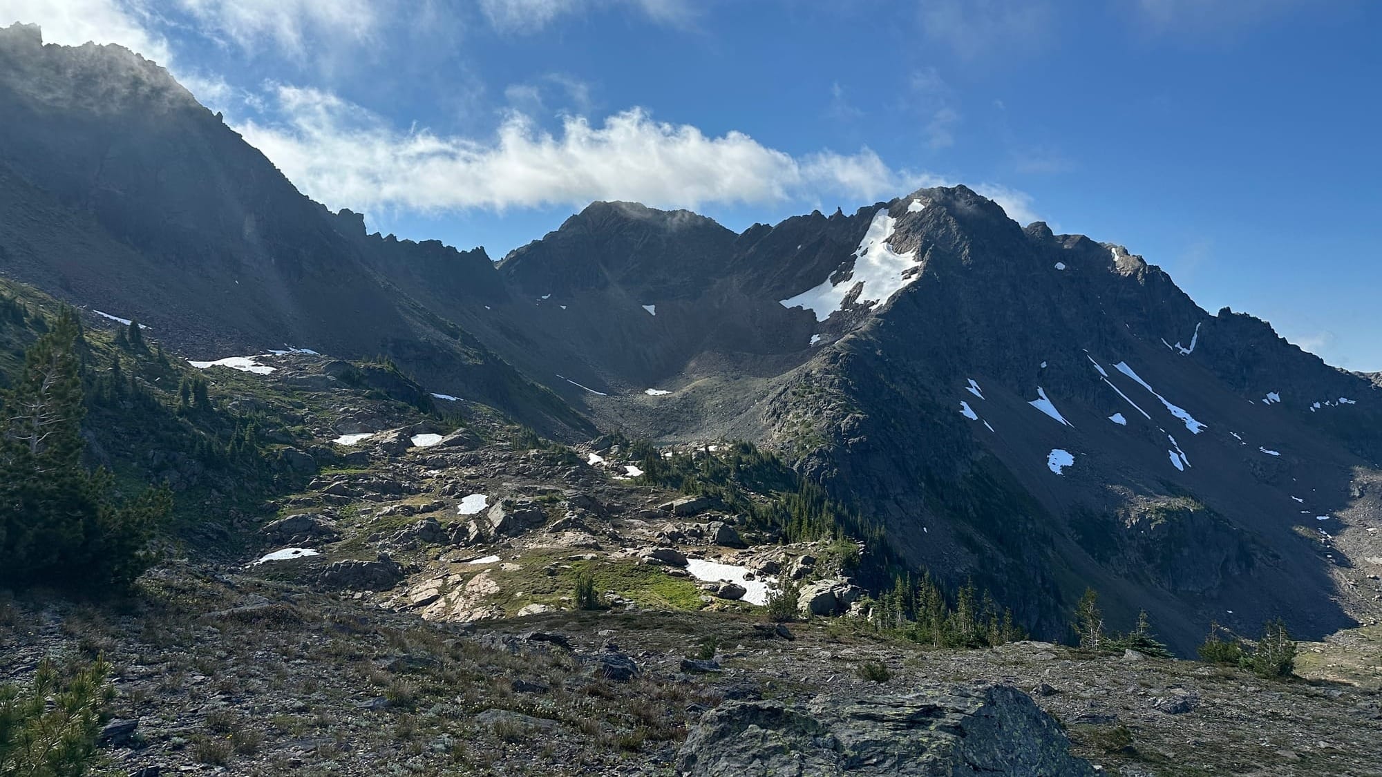
Kyle and I sat on the scattered rocks littering the low western finger of Big Chiwaukum. It was the first time we had stopped in three hours after slogging through 4,000 vertical feet of overgrown trails and talus filled meadows. The sun had just broken over the mountain tops, and it lit up the peaks in stark relief. Big Chiwaukum stood over us, and despite being the tallest mountain around, it appeared a gentle giant. The wide ridge trended upwards steeply, but offered an open and straightforward march to the upper mountain. Snowgrass however, loomed to our south, producing a much more menacing image. The northwest ridge, our route to the top, was filled with masses of dark imposing teeth that rose steeply into the fractured summit mound. The general direction was obvious, but the massive features left much to the imagination. Where could we pass around the large fins protruding where the ridge steepened? Would we need to cross the steep snow bank? How big were those notches we could see from a mile away? With swirling cloud building, we hurried into the unknown.
Big Chiwaukum to Snowgrass Traverse
The Chiwaukum Mountains sit east of Steven's Pass, they are part of the greater "Wenatchee Mountains" and form a chain of rugged alpine peaks that sit neatly between the Stuart Range and Nason Ridge. Despite their proximity to so many other mountains they have a distinct character; with wide tundra meadows and rugged dark rock, they feel unique even within the cascades.
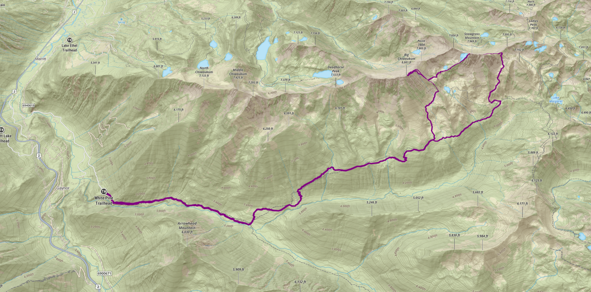
There are two main entry points to these mountains; the more western Mill and Lanham Creek which take you towards Sam and Jim Hill, and the more eastern White Pine and Wildhorse Creek which take you past the Chiwaukum Massif that holds North, Middle, and Big Chiwaukum (among others). We entered from White Pine where the two largest peaks, the interconnected Big Chiwaukum and Snowgrass Mountain, stand at 8,081 ft and 7,970 ft respectively.
There are multiple ways to traverse these two peaks, we opted for the standard ascent of Chiwaukum via the south, then doubling back to Snowgrass via Upper Grace Lake and scrambling it's steep North ridge before descending it's southern flank. In total the linkup of the two ascents covered 20.65 miles and 8,117 ft of vertical gain.
We started the day just after sunrise, waking slowly in the solitude of the White Pine Trailhead. The morning was straightforward. Make as quick of work as we could of the nearly flat White Pine Creek Trail before veering onto the steadily climbing Wildhorse Creek Trail. This would take us from the squat 2,800 ft of the trailhead to the wide open meadow that sat below Big Chiwaukum at 5,400 ft. By all rights we were successful, covering the 6 miles and 2,500 ft of gain in under 2 hours.
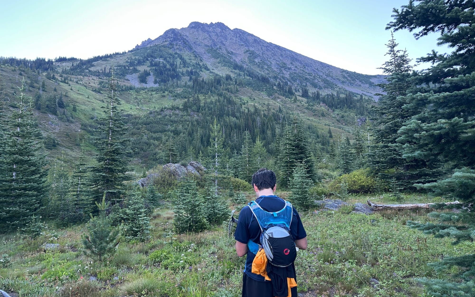
Once we left the trails behind we plodded through the meadow, still wet from the morning dew. We trended south through multiple drainages and landslide debris paths, heading toward the sloping west ridge which rose out of the greenery into a mound of grey rock. Kyle found a small stream here and filled a bottle that had been depleted from the run. Afterwards we continued heading south, where we climbed the talus field that bisected the lower ridge, finding the easiest climbing just under a small band of trees.
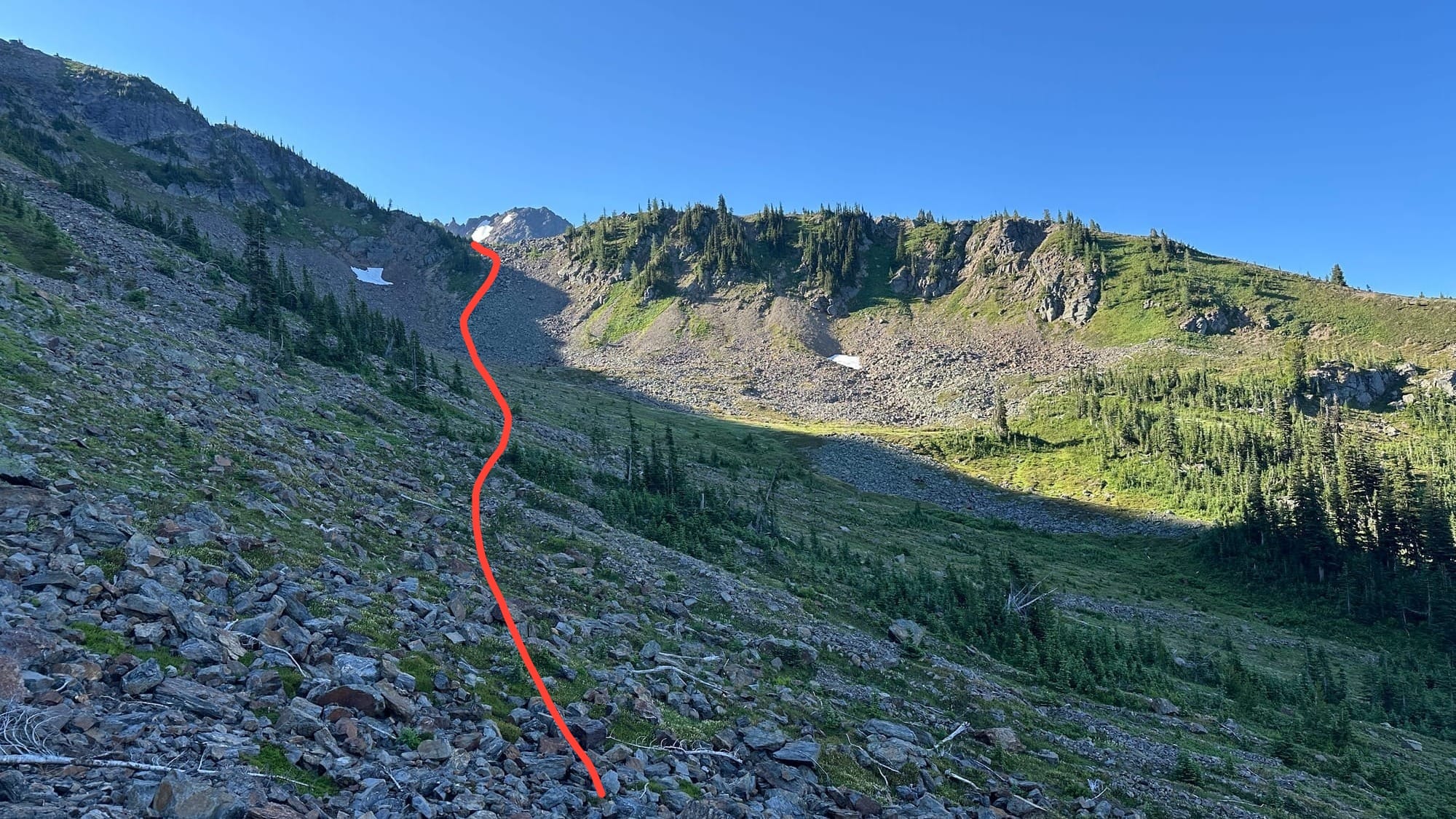
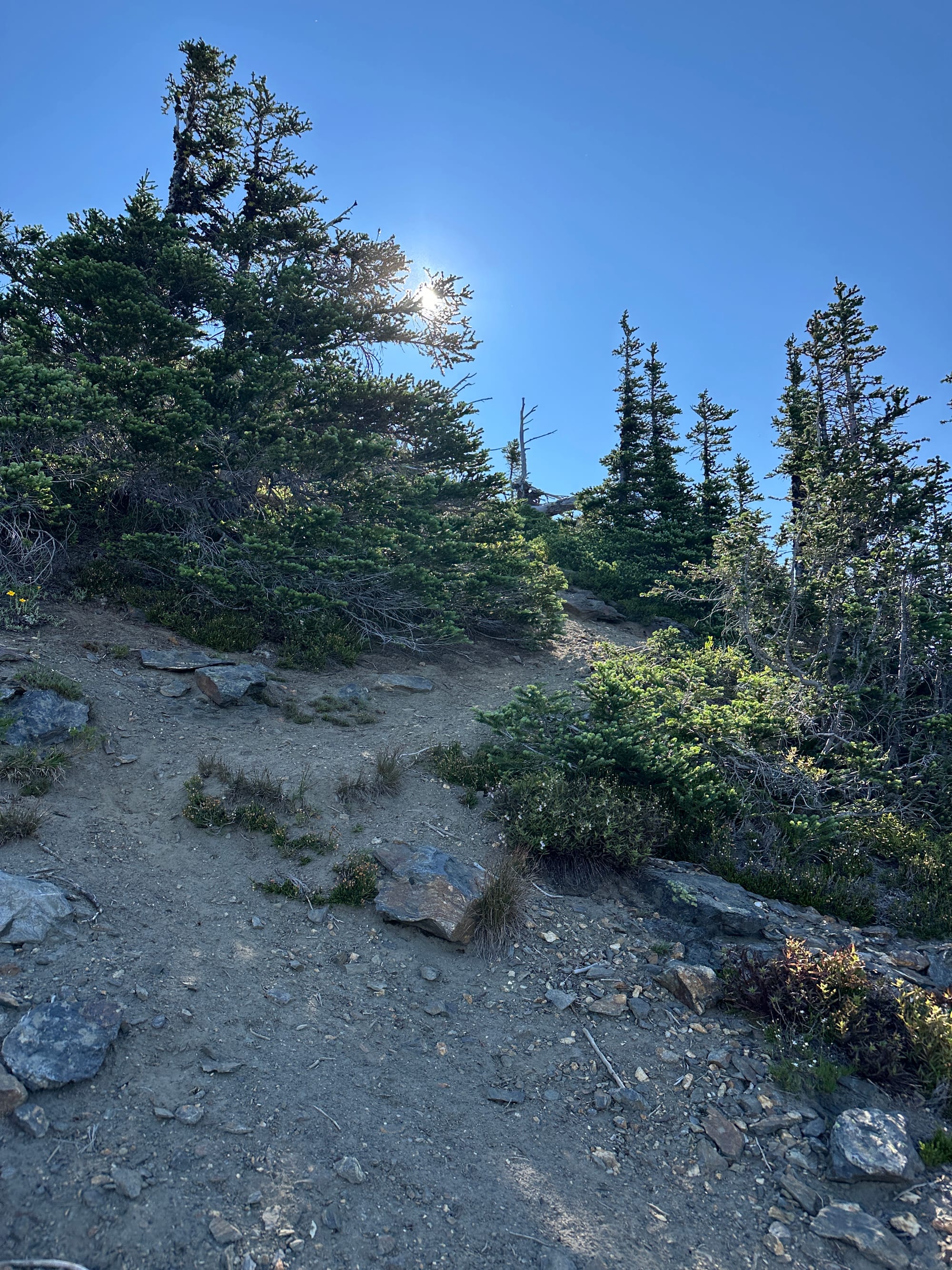
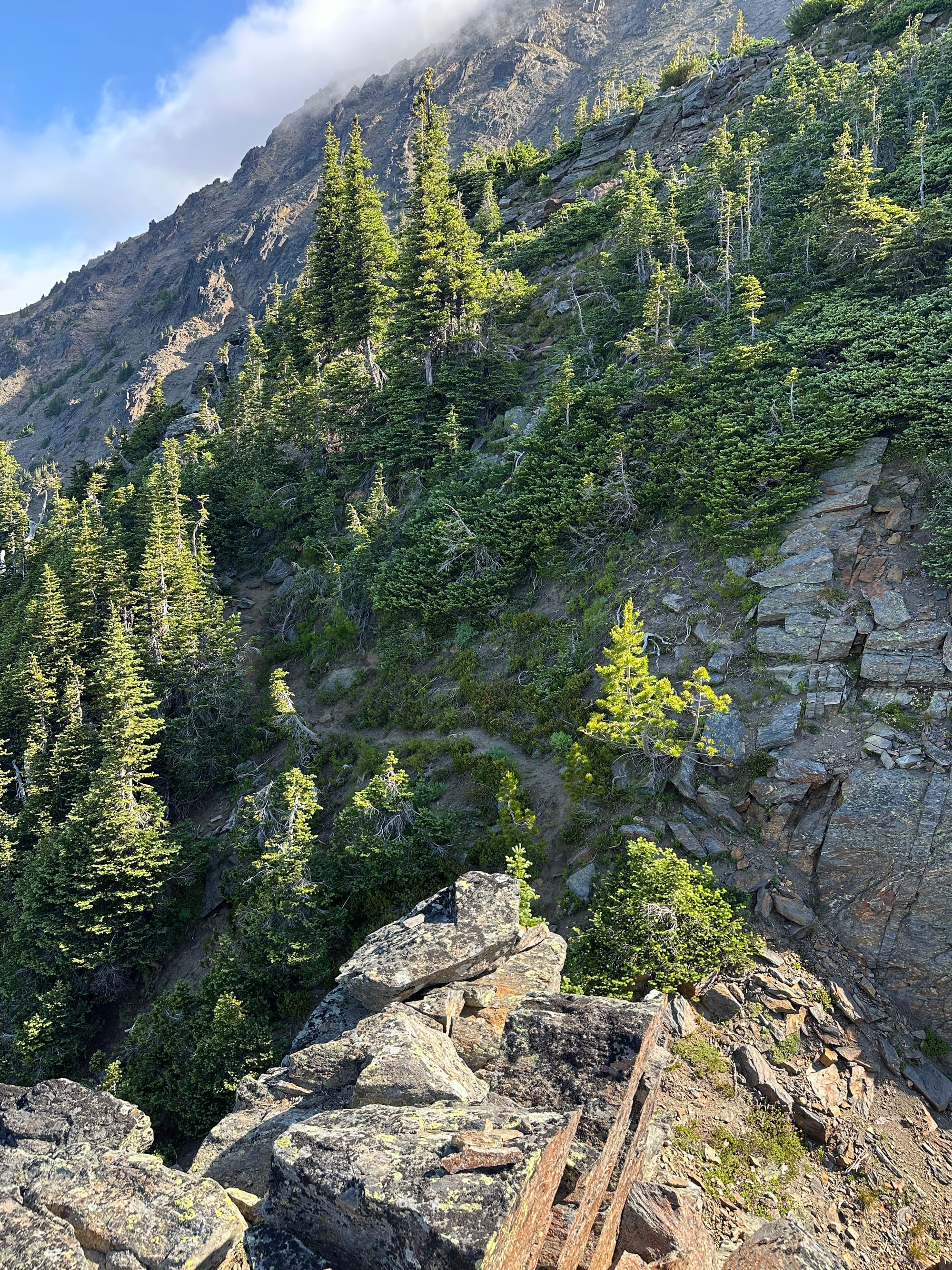
The faint trail leading across the ridge the the more open slope up Chiwaukum
After a short break atop the knoll we continued upward, either following faint climbers trails or just the natural slope of the ridge, which eventually lead us to a wide open arm that beckoned us toward the summit.
By this point the clouds were really beginning to gather, the forecasts had called for some clouds in the morning that would burn off around noon, but what we were seeing didn't align with that view. The clouds were being whisked together by high winds, funneling wisps of white across the peaks in coursing streams. They were still thin, with no signs of precipitation, so we kept moving forward with a cautious eye.
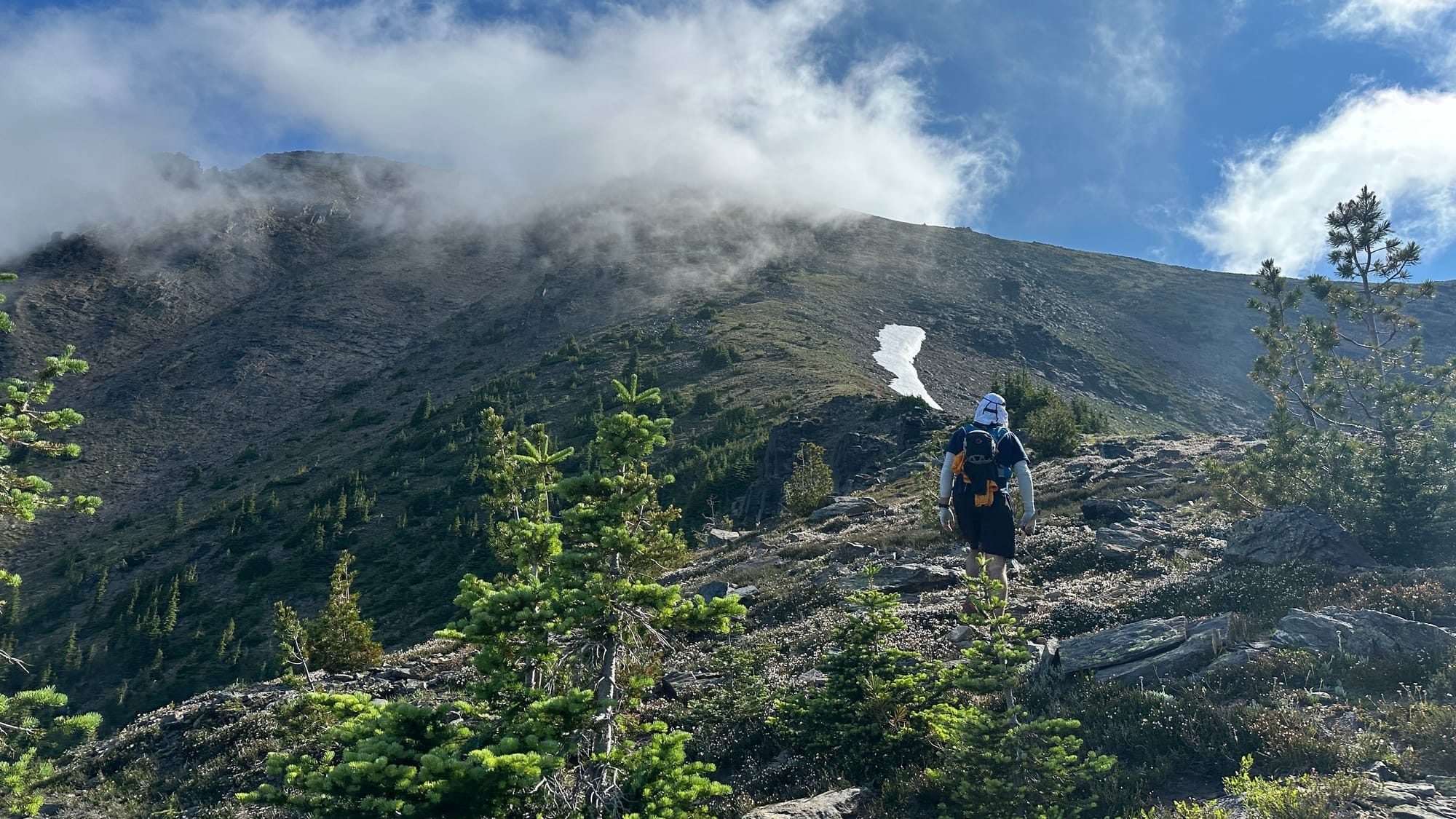
We slogged upwards for 1,300 ft, heading directly upwards towards the ridge top. We would learn later that the "standard" route traversed north a hundred feet or so lower, following a set of cairns underneath the ridge proper to prevent topping out along multiple false peaks. We both prefer running the true ridge when possible though, so we forged up into the rocks and began our first scramble of the day.
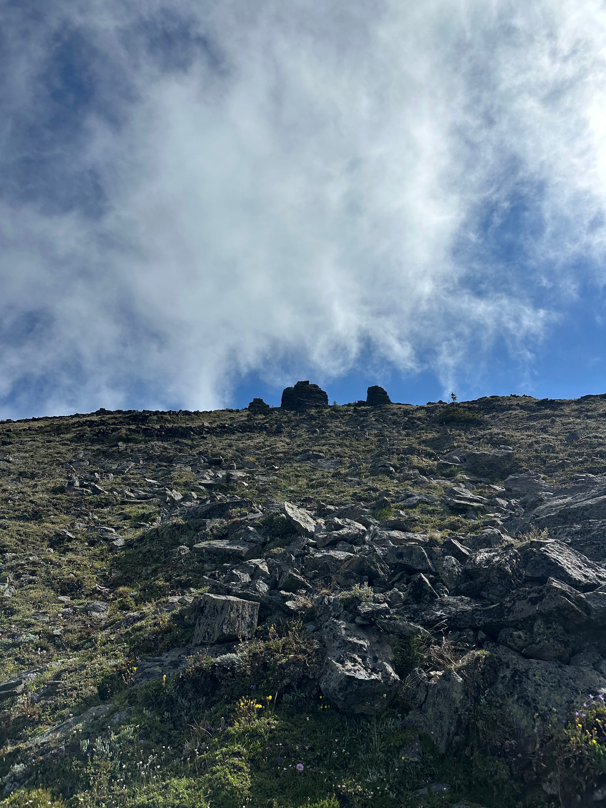
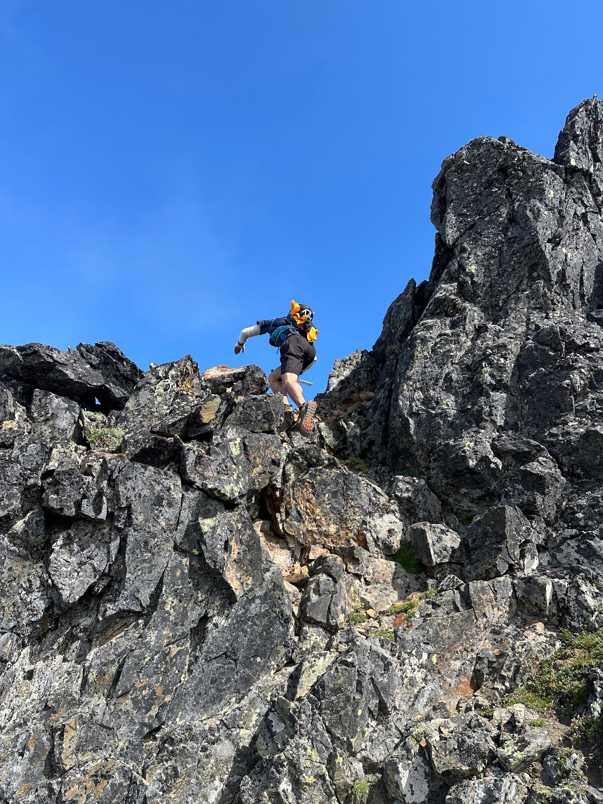
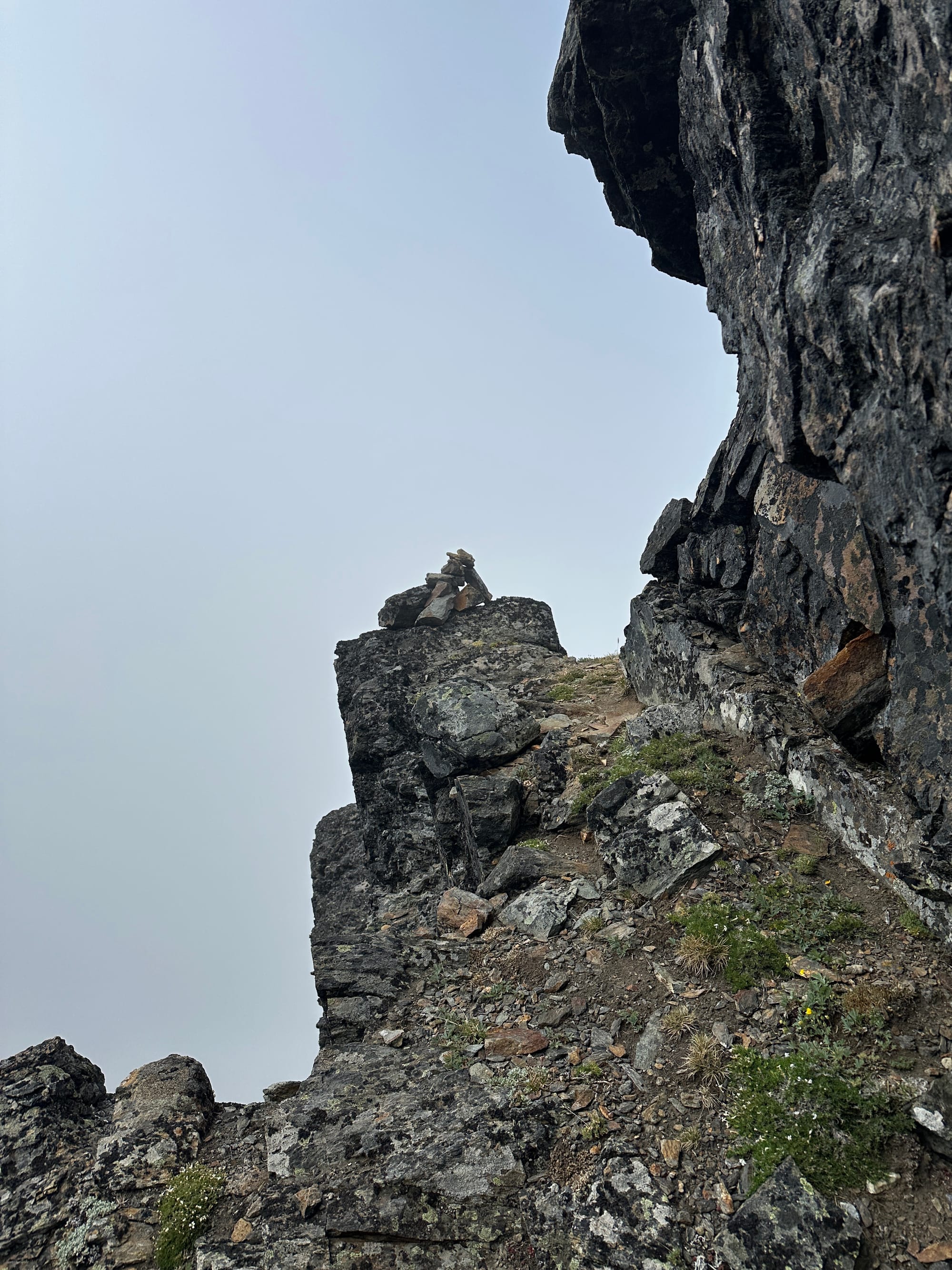
1. A jumble of rocks we pointed ourselves at while ascending, 2. The first steps onto the rocky ridge, 3. The first cairn we spotted taking us around a steep knob, 4. Surmounting the summit block with the false summit behind us
We continually got "cliffed out" as we stayed high, finding ourselves atop at least three of these false summits that required us to down-climb or double-back. The scrambling was wonderful though, and our route provided multiple great 3rd class sections that the lower route avoided entirely. None of the notches imposed any challenge harder than small 4th class moves, or required significant back-tracking.
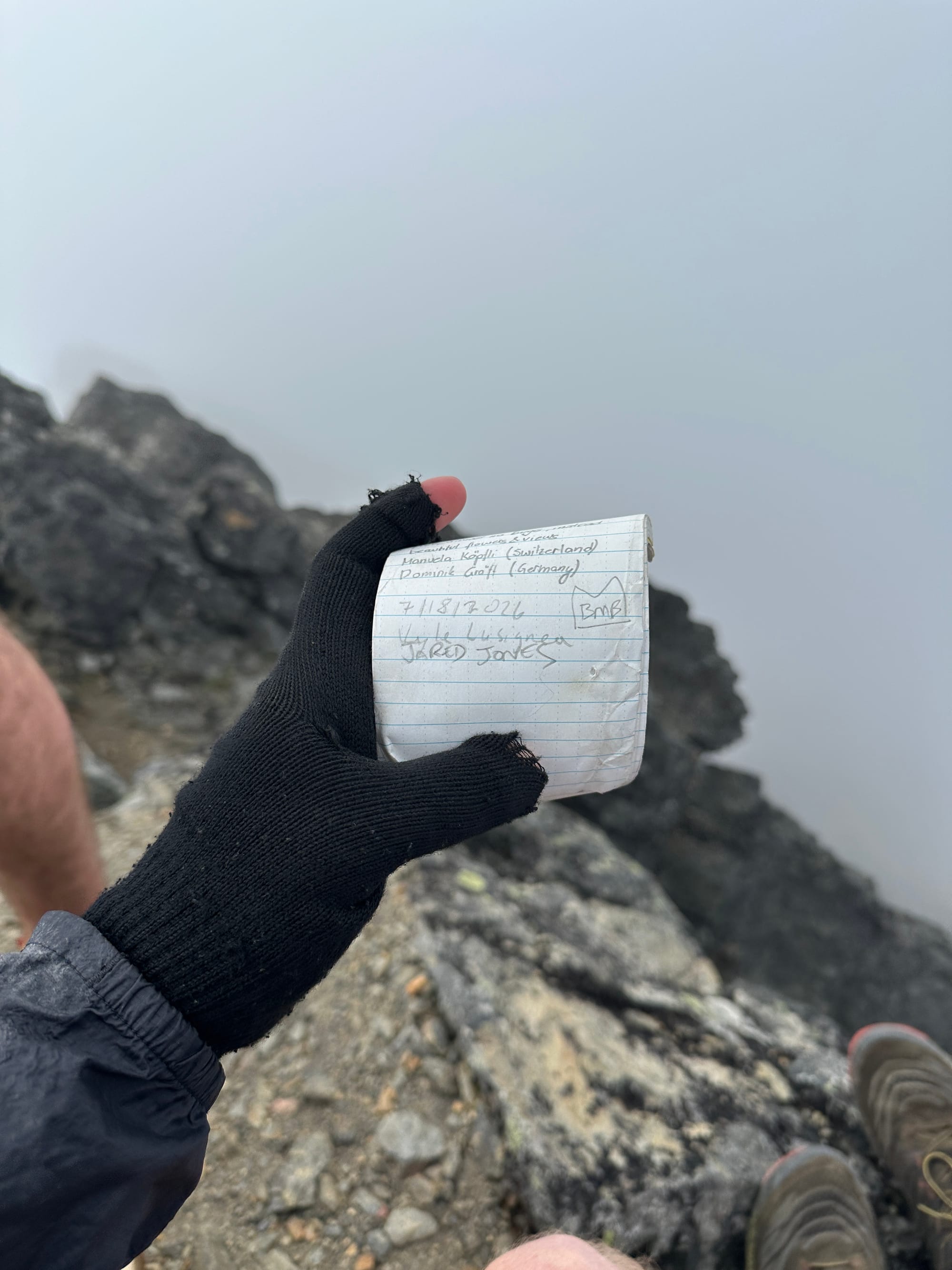
On the summit of Big Chiwaukum (8,081 ft)
We found ourselves on the summit of Big Chiwaukum by 10:30 AM, we had managed 5,500 ft of gain in under 5 hours and were feeling great despite the hurtling and frigid winds that berated us. After a short break, trying to hide from the strong chill, we signed the register and made our way down via the low route that we had now determined was proper. There were plenty of cairns dotting this faint climber's trail that made it easy work to find the fastest way back down to the wide arm, despite the clouds that had taken over the hillside imposing our view.
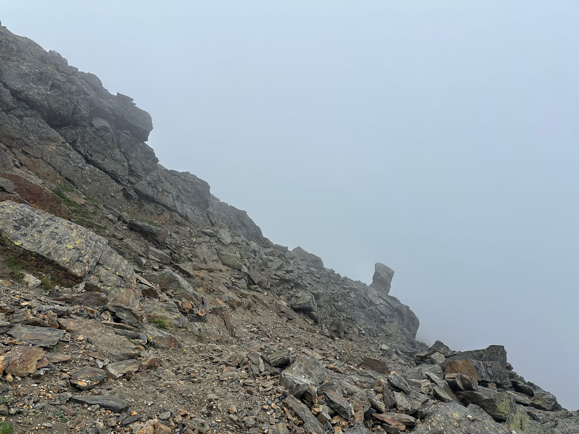
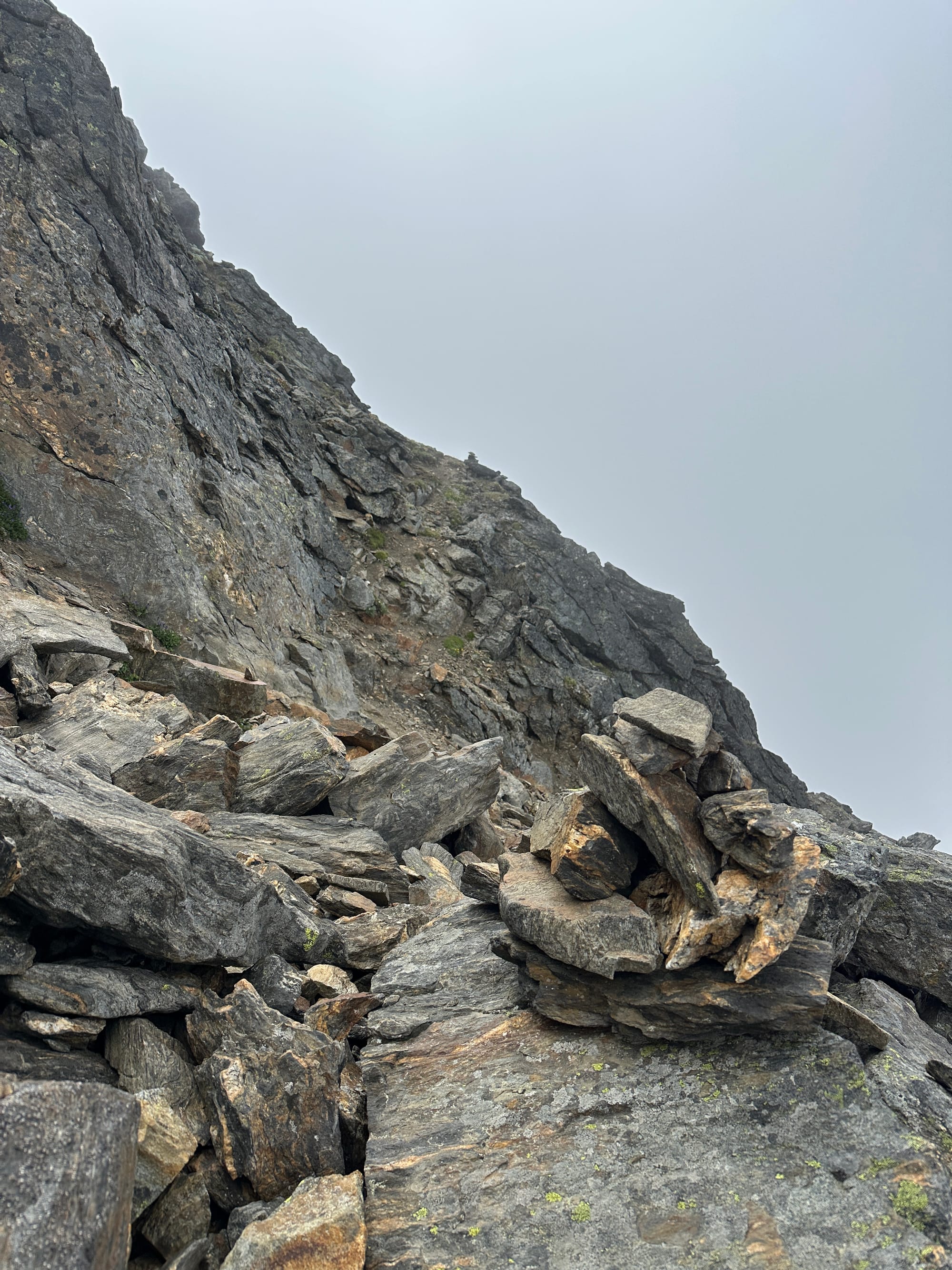
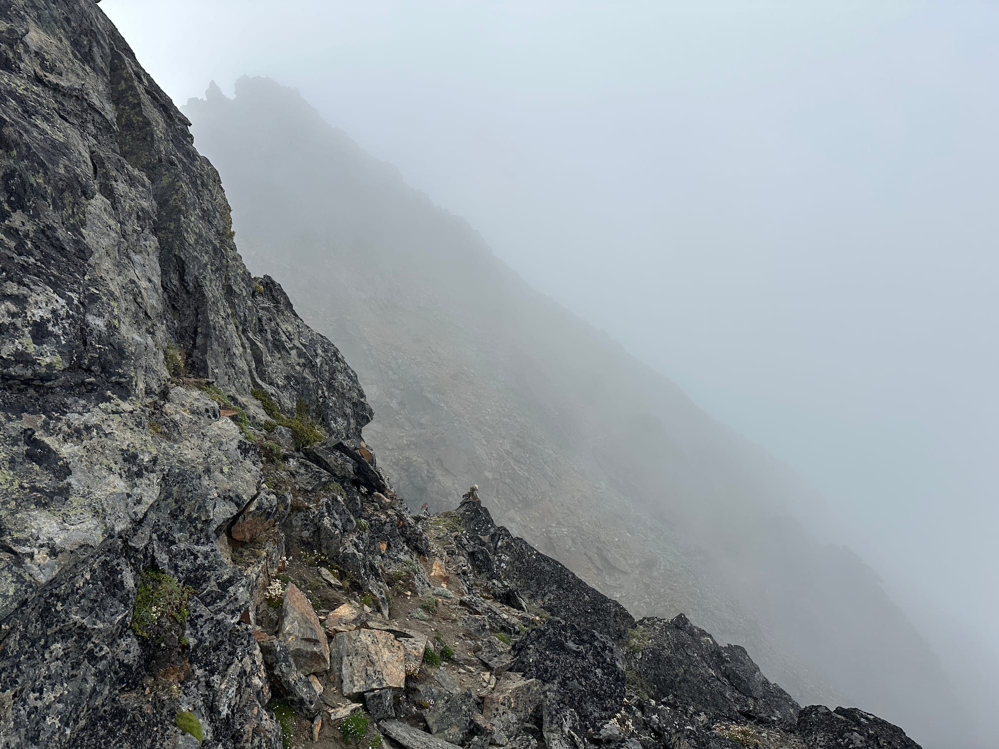
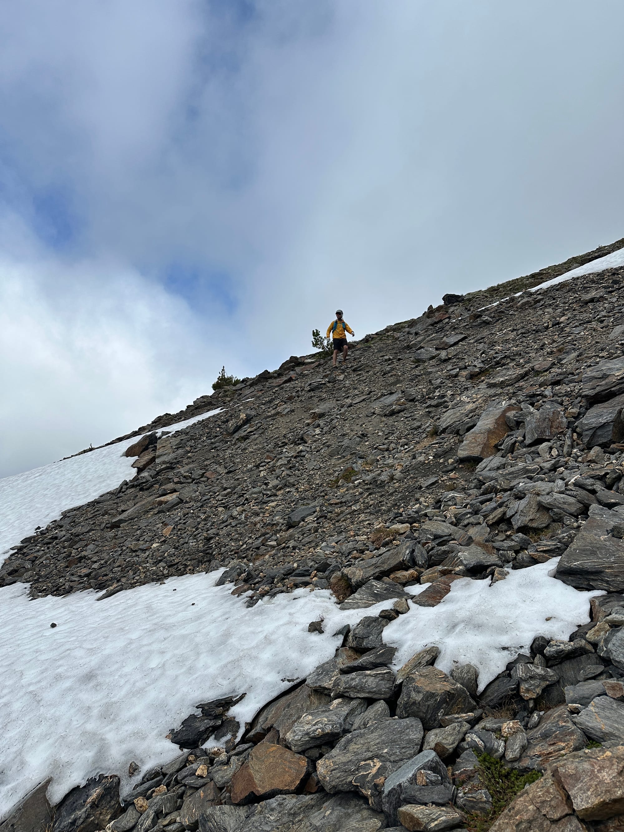
Descending Big Chiwaukum in the clouds following the cairn path
We descended from the arm toward upper grace lake, opposite of the way we had come up, traversing down the rocky slope into the basin. Through this descent we spent quite some time discussing continuing through the clouds. They had imposed no real challenge on Chiwaukum, but the scrambling would only get more difficult from here. Still though we found them high and thin enough to give us enough visibility to route find, so we continued forward. I filled my bottles at a tarn just before the lake, thinking we would stay too high to reach the lake-proper, but we ended up passing it a few hundred feet later as we accessed the ridge line.
The ridge wasn't steep at this point, offering a variety of options, again though we opted to take the most direct line we could and climbed through the steep section leading directly upwards. This put us on some 3rd to 4th class moves with very little exposure. The rock was mossy, but the movement was enjoyable and well worth a direct line.
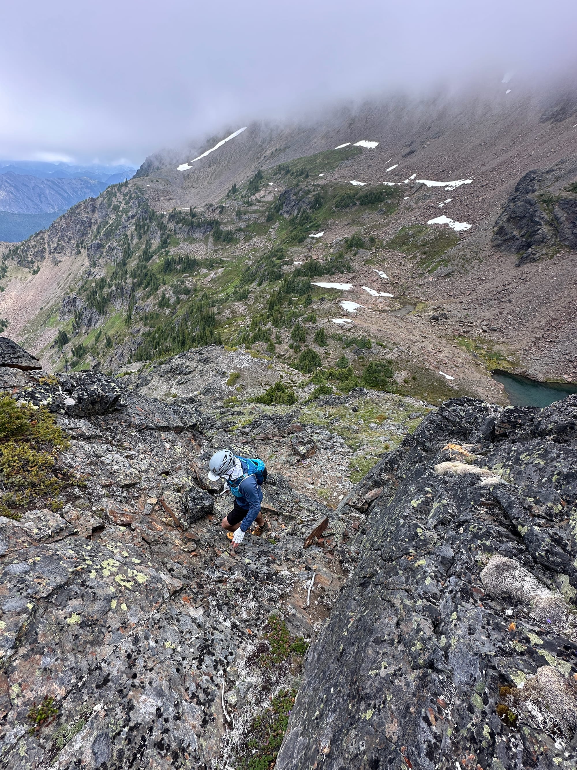
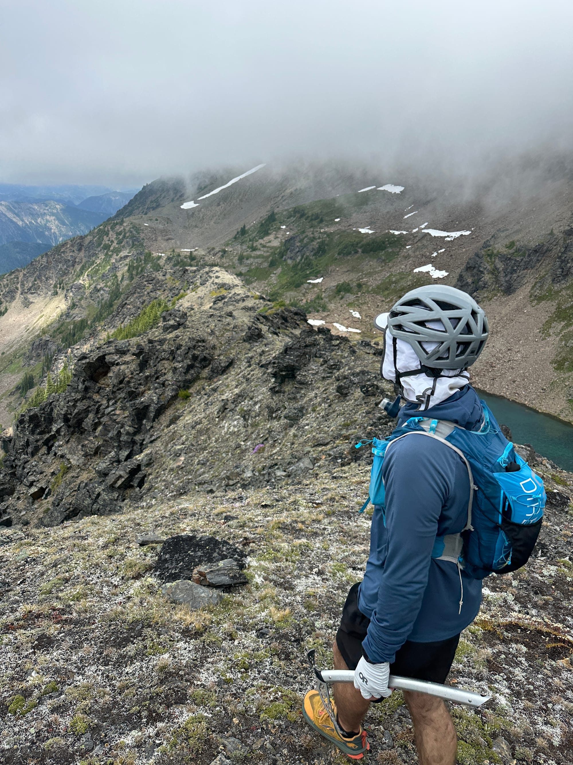
Accessing the ridge above upper grace lake
The ridge trended upward gradually for a bit, smatterings of low alpine grasses and moss peaking out between the dark rock, before it turned sharp and treacherous. Quickly it became more difficult to avoid clambering over the rocks that protruded from the ridge, and we began our scramble. For about 500 vertical feet we hopped around, switching between 2nd class and low 3rd through jumbled and blocky terrain. The exposure grew to both sides as we approached the large perennial snowfield holding weakly to the northeast slopes, but the route finding was straightforward.
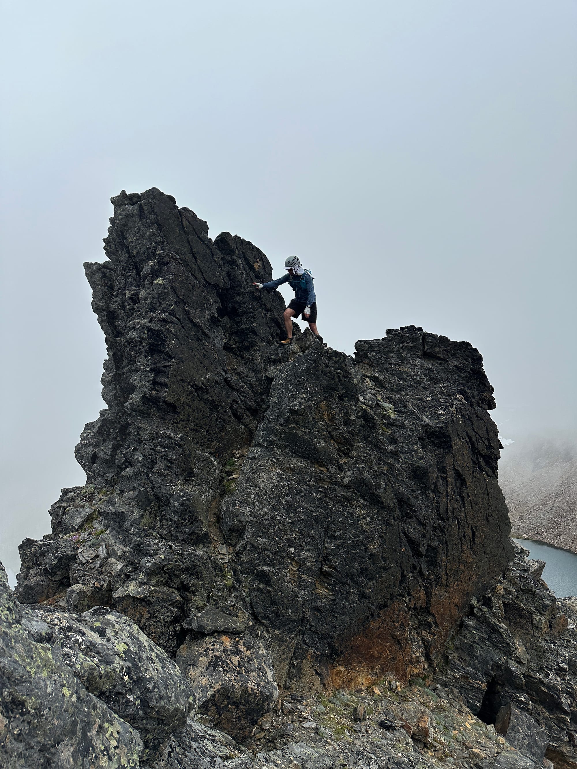
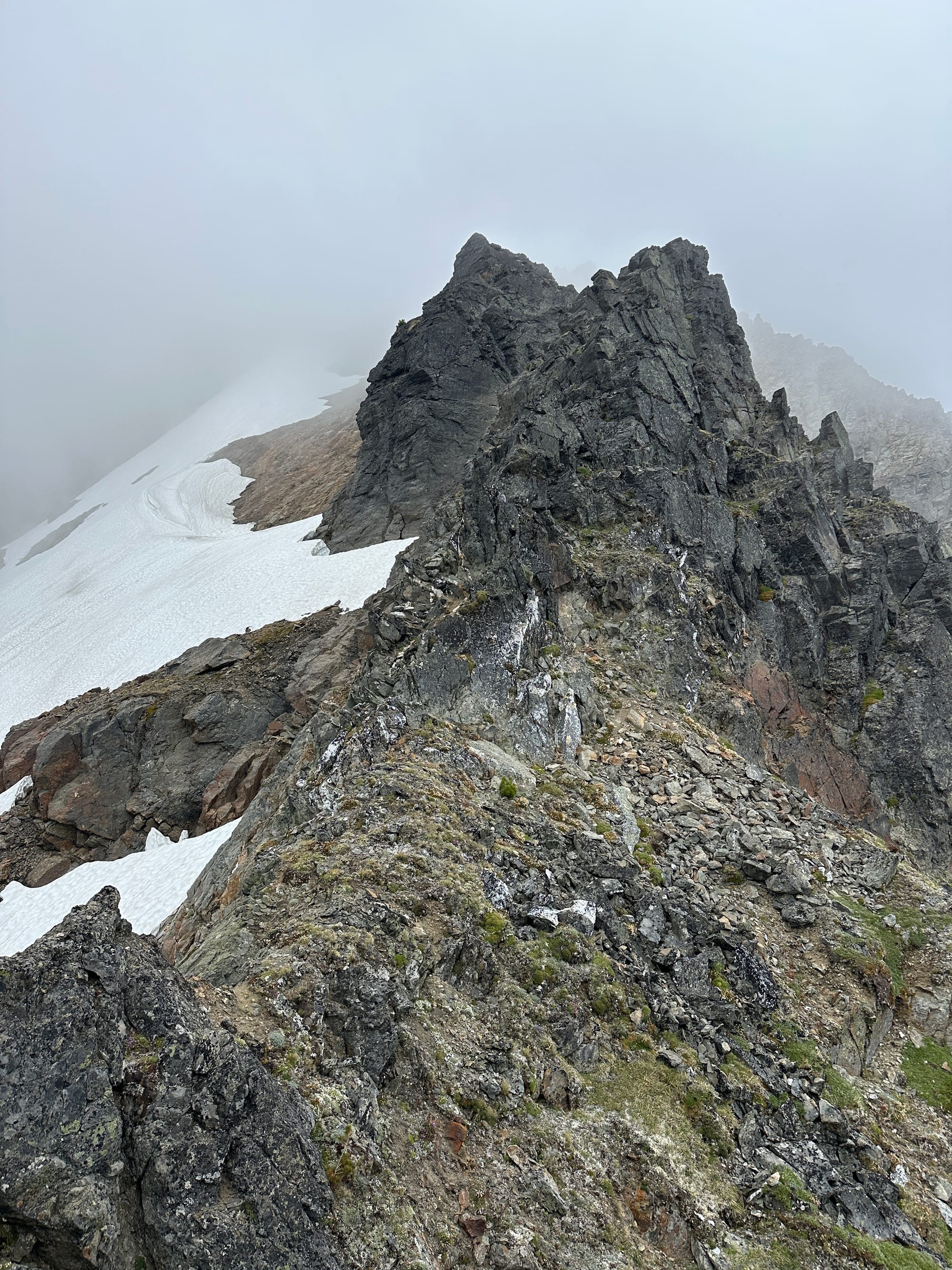
The start of the ridge-proper upwards toward Snowgrass
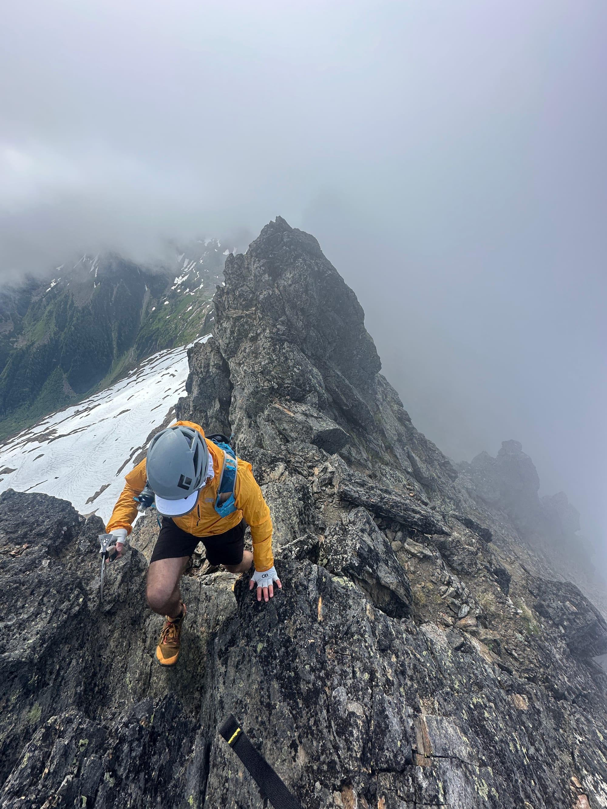
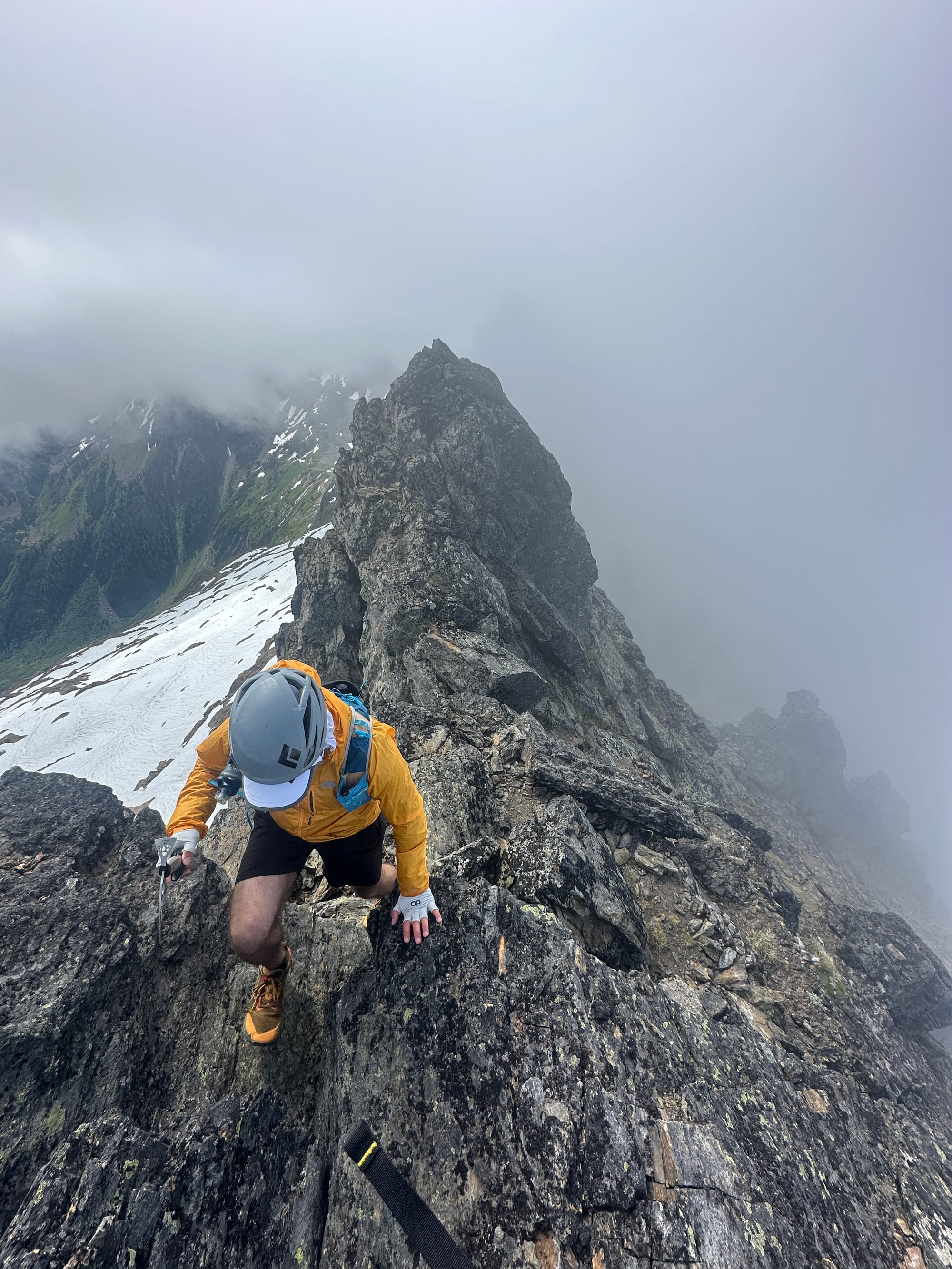
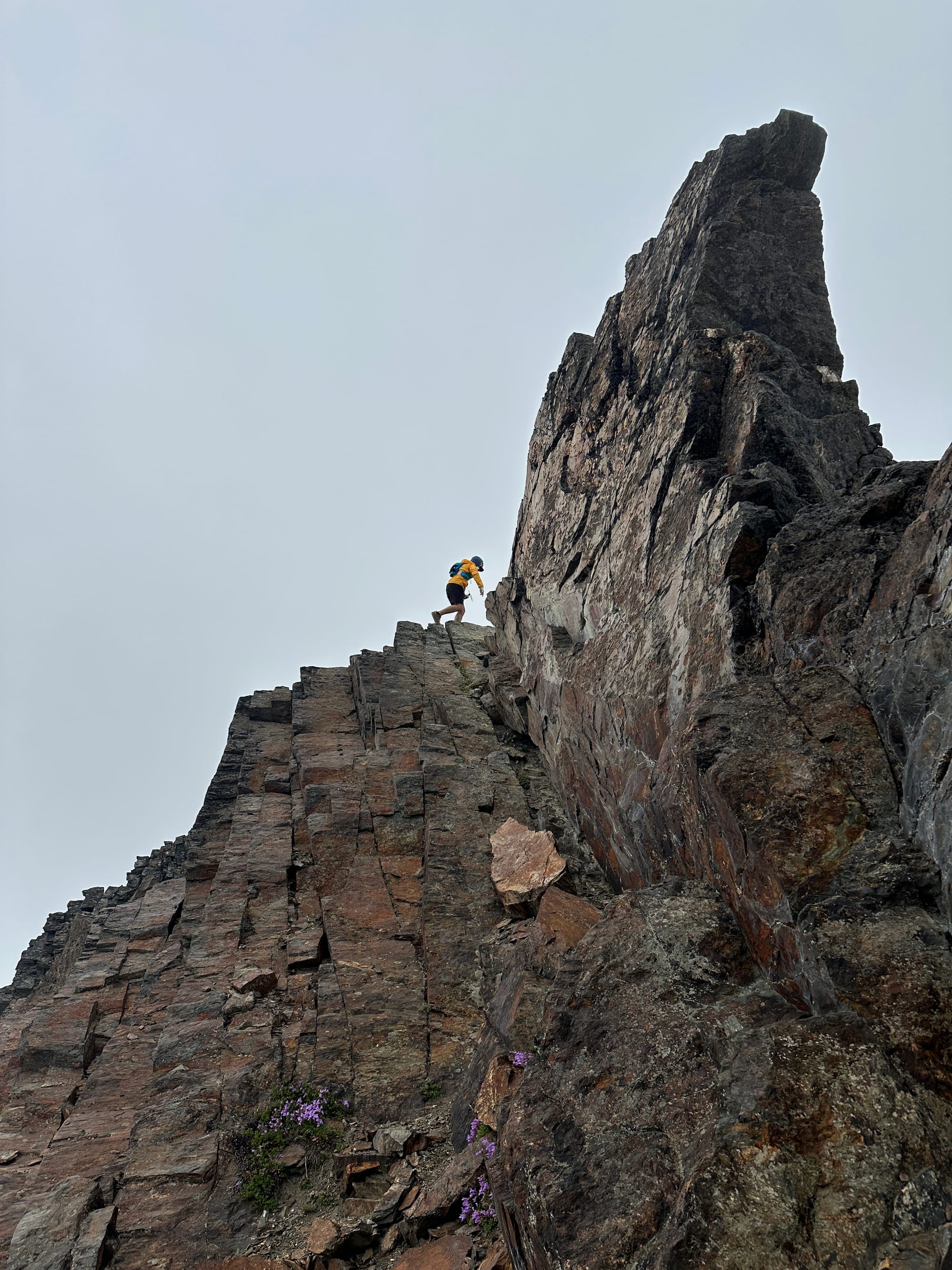
From afar we knew that the most difficult part of the day would be navigating either around, or up-and-over large fin-like gendarmes near the middle of the ridge, sitting between 7,400 and 7,600 ft. We mounted the first, climbing up through it and over the back. With the exposure reaching its peak, we traversed around the next, smaller, fin and into the notch formed between it and the final, largest, one. The rock quality was degrading quickly and the ground beneath us skittered down into the abyss below us as we side-stepped across the narrow ledge.
Within the notch we could tell that there was no way around the east side of the fin, and we would need to climb up through it to make our way around the west side, but there was little to hold onto that wouldn't pull straight off of the mountain. I tried descending into the gutter between the snow and the rock face, my ice axe in hand, to use the hardened snow as a solid hold, but the ground was kitty litter and sloughed away at every step. A rock slid through the debris I was shifting and slammed me in the shin. I yelled back to Kyle to look for another way through the rock as I did my best to extract myself from the poor situation I had entered. luckily he found one, trending up the ramp in the notch we found a few half-decent holds that made for sketching ascending with all of the air underneath us.
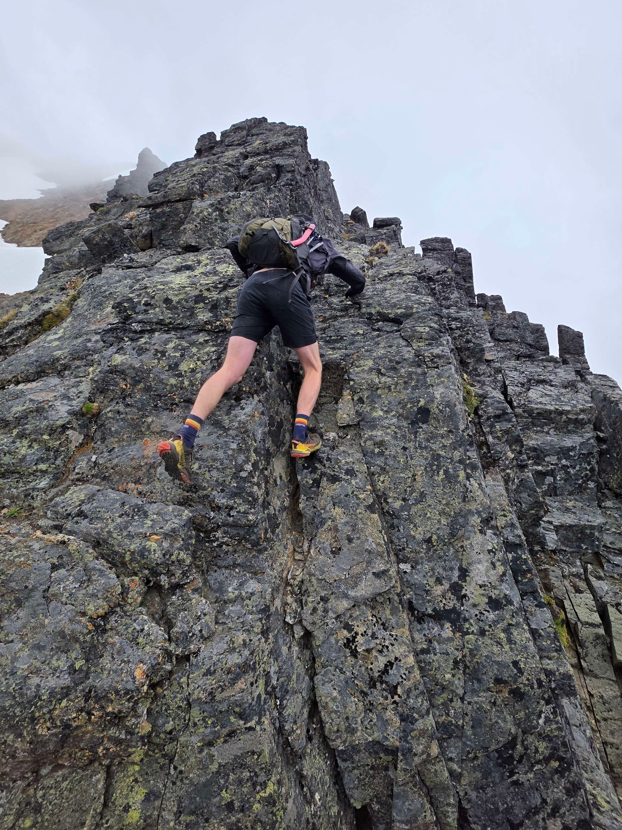
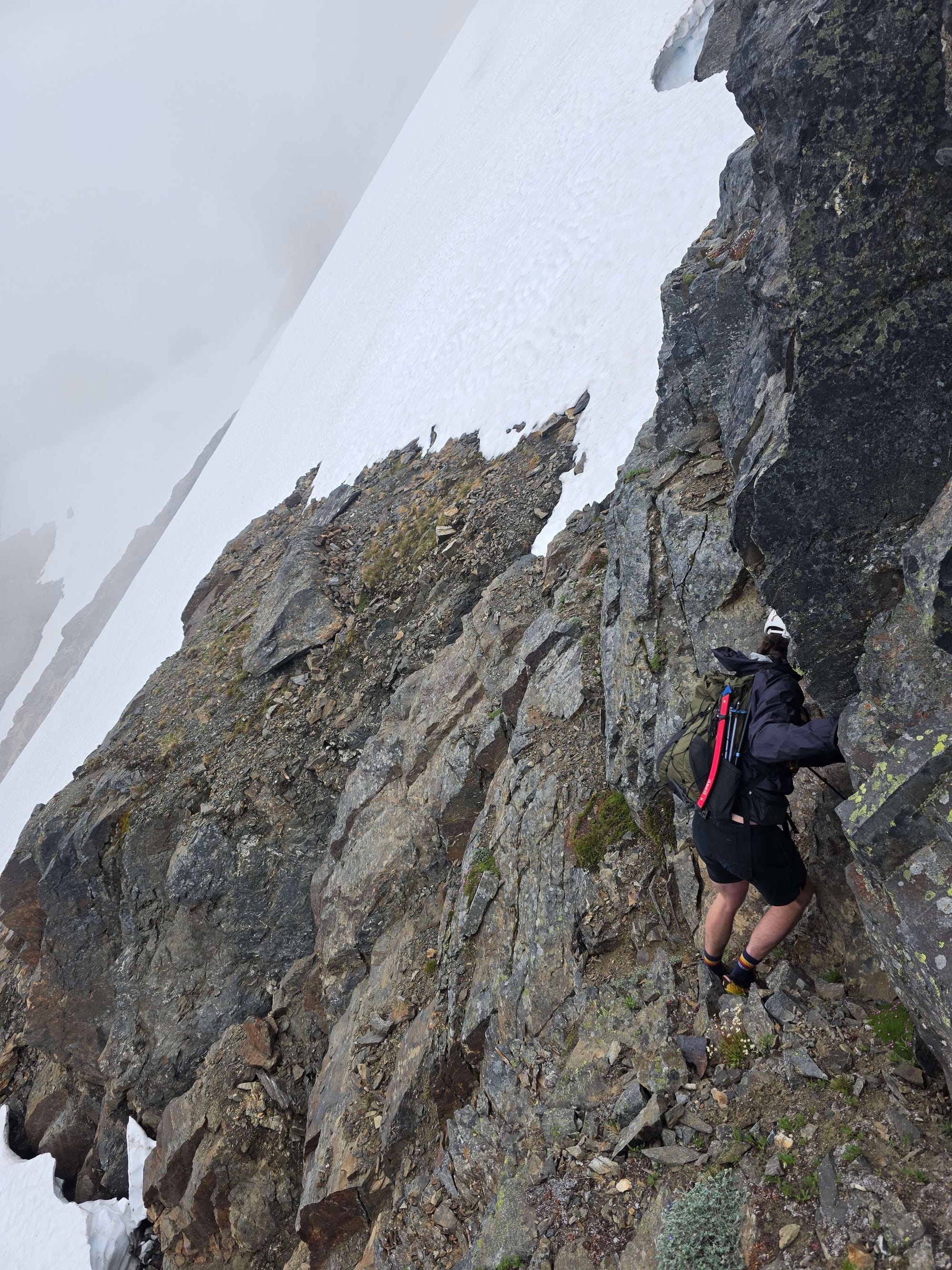
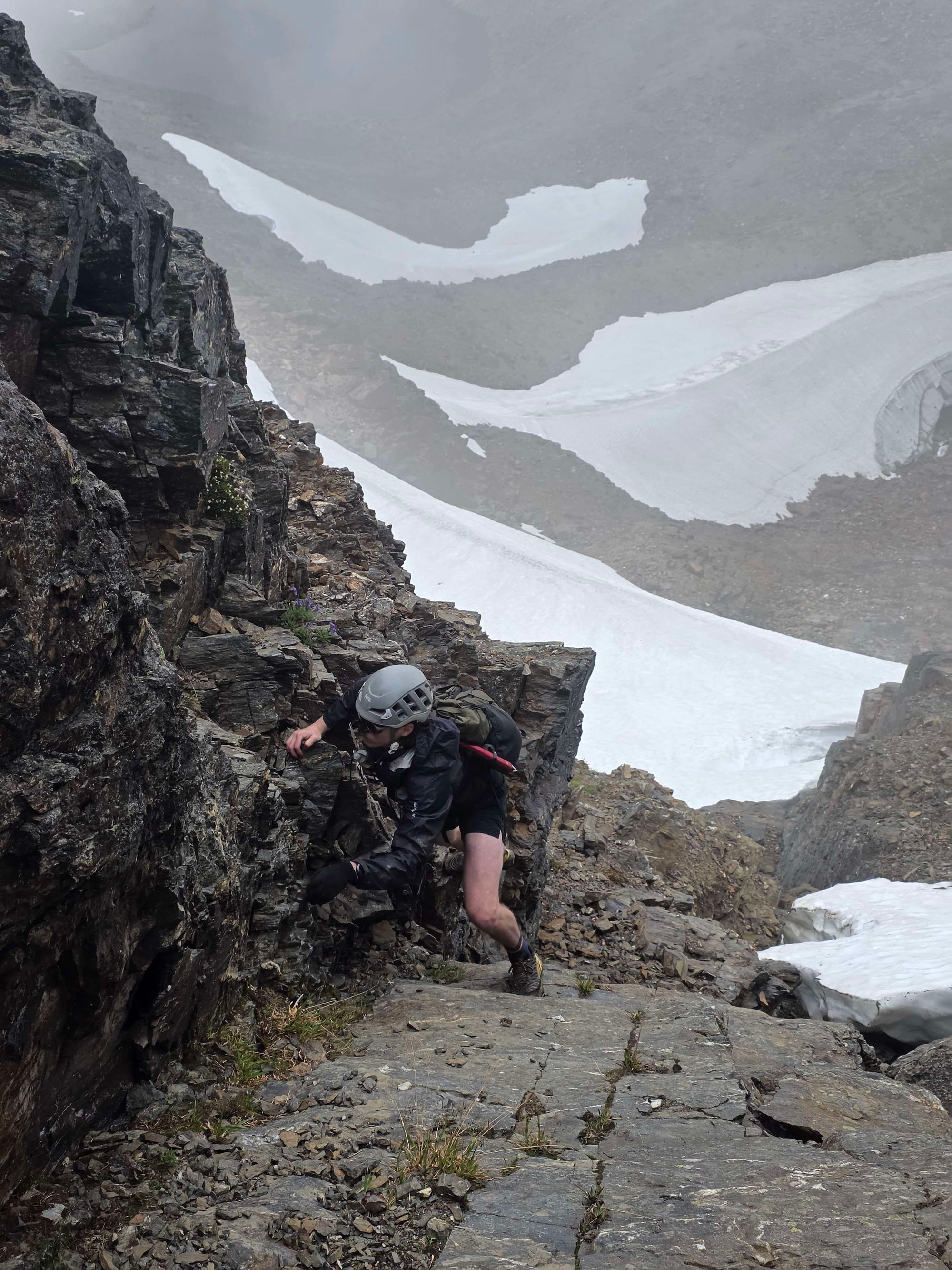
Some shots Kyle got of me making my way through the gendarmes 1. Climbing the first fin, 2. Traversing past the second, 3. Climbing up through the notch
Luckily the steepness abated on the other side of the notch and we made our way, walking far more easily, up through the talus-filled gut of a gully leading to the summit. The wind was stronger again on the west side of the mountain, so after we made it onto the summit, we crested downwards and sat for awhile staring into the Chiwaukum Creek Valley nearly 3,000 ft below us.
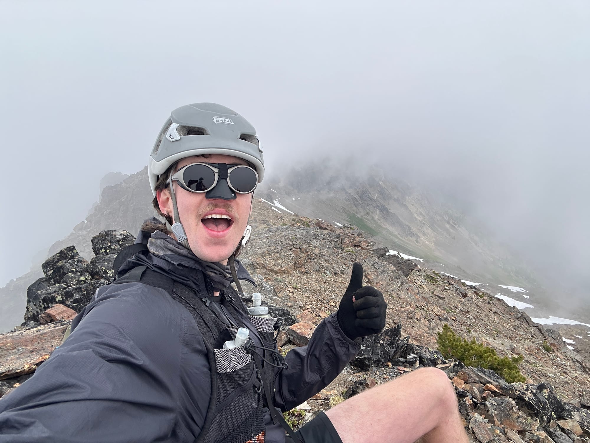
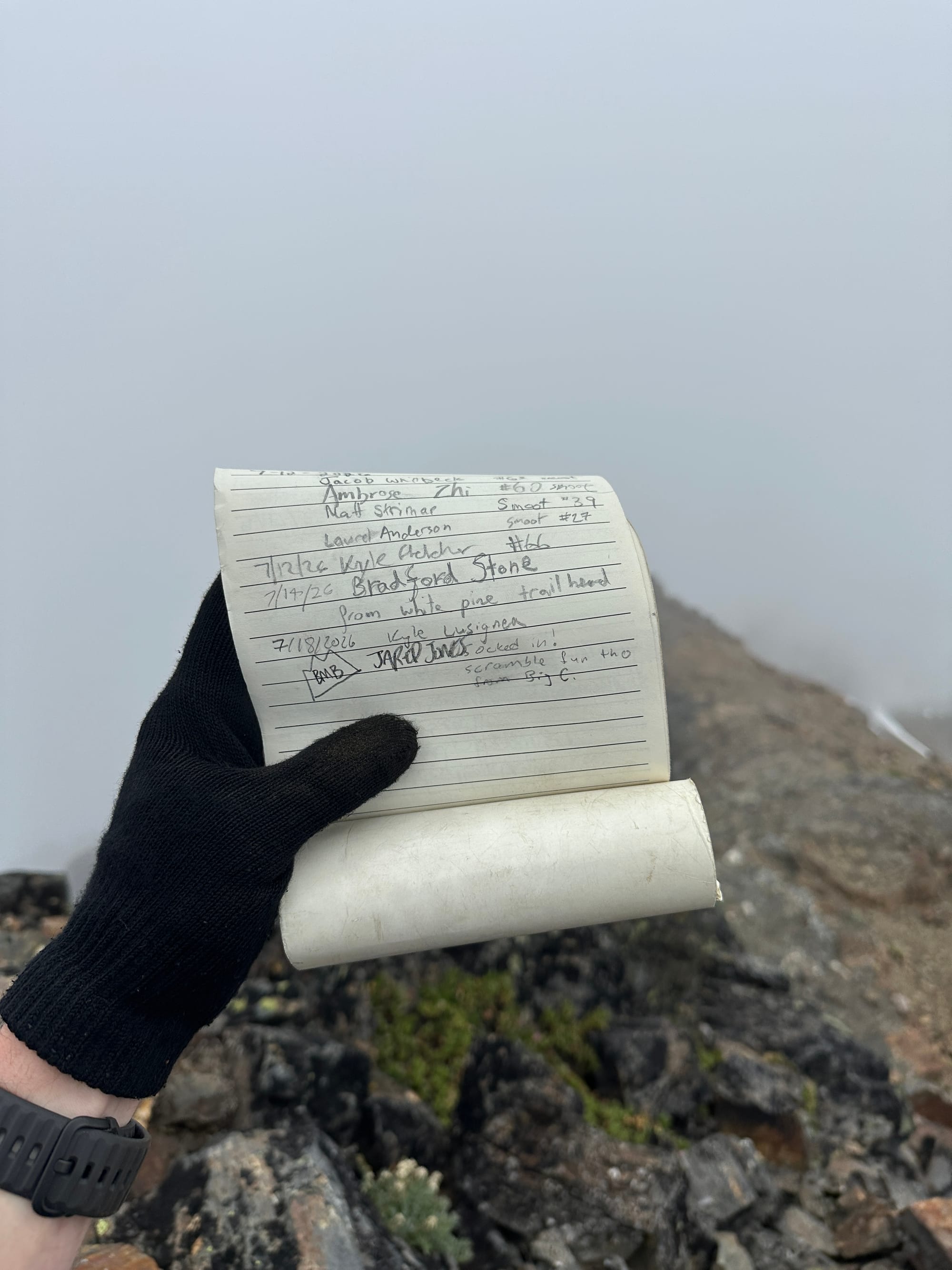
On the summit of Snowgrass (7,969 ft)
We had a long descent and return ahead of us, so we packed back up and headed south, following the more standard route down, luckily not having to back-track through the chossy scrambling we had ascended.
We walked along the east side of the south ridge, following bands of deep red rock outward, staying just below the precipice where the wind raged. Only having to cross it's furious path on the few small notches that broke up the knife-edge. Eventually the rocky ridge opened to a wide tundra, the coursing clouds transported us thousands of miles away to the Celtic north, it was otherworldly how quickly the terrain had changed.
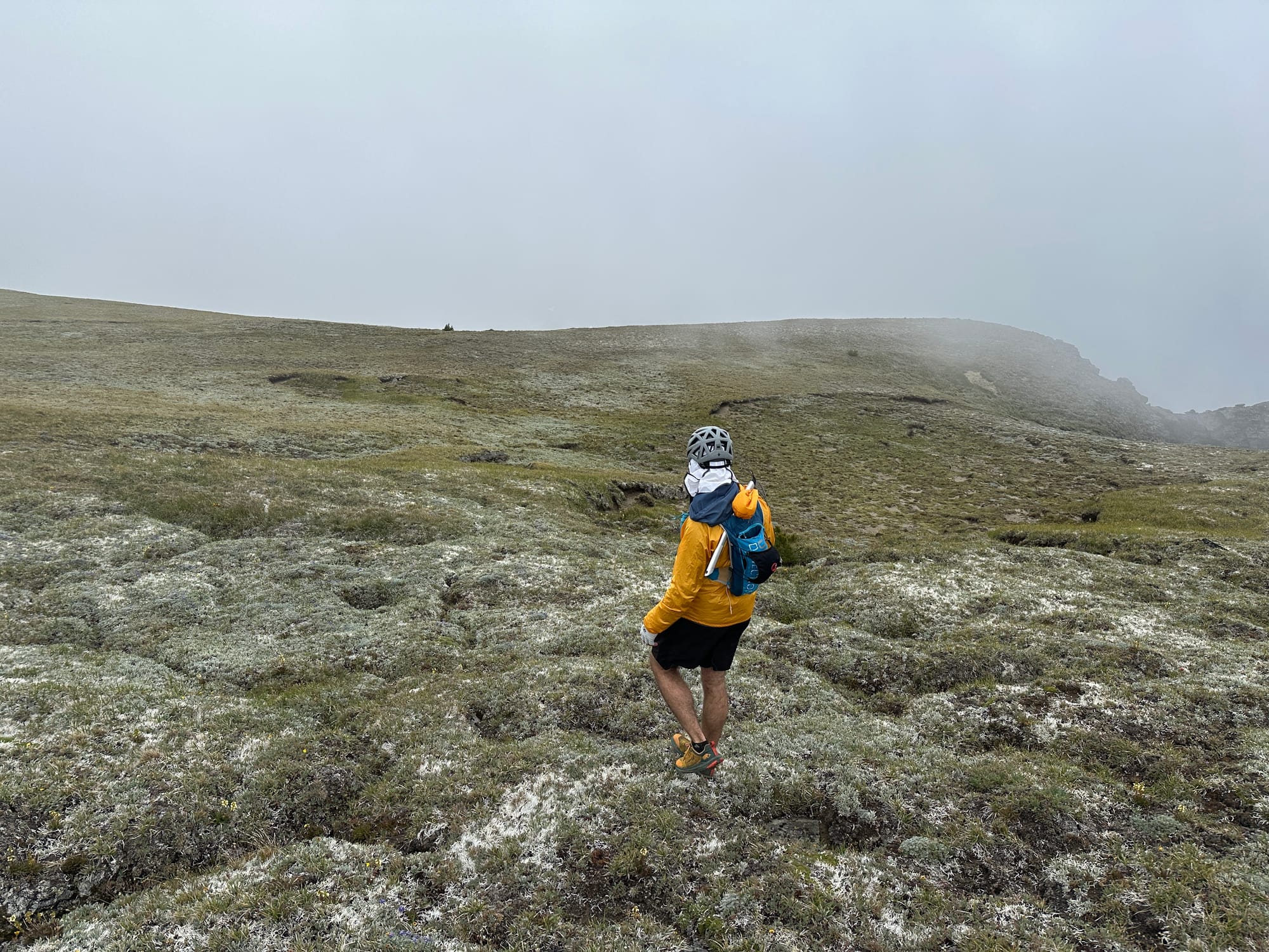
Traversing the south ridge off of Snowgrass
Around 7,400 ft, as the ridge dipped into a faint col, we hooked west into a lush alpine meadow that descended back towards the Wildhorse Valley. We made our way down slowly through the steep grass as Marmots chirped a chorus to our strides. Everywhere we looked they scampered as we invaded upon their paradise trying to return ourselves home.
Eventually it flattened and we crossed a rocky section where all of the water running through the hill collected into lazy streams, it was the first place to refill in hours, but we had hardly drank anything through the cold climb so we marched onward toward the tree line that hovered below us. We traversed northward, avoiding a steep drop that would lead us directly to the trail, through thickening trees.
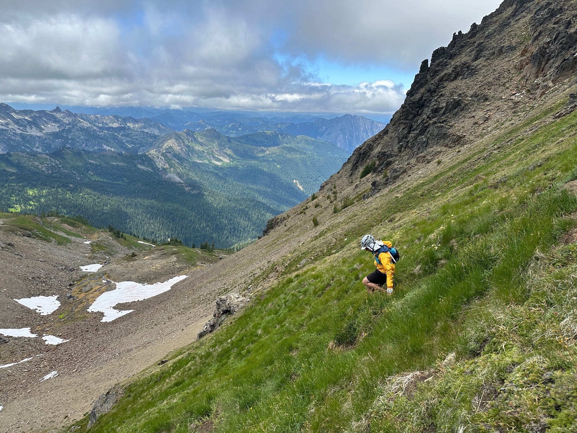
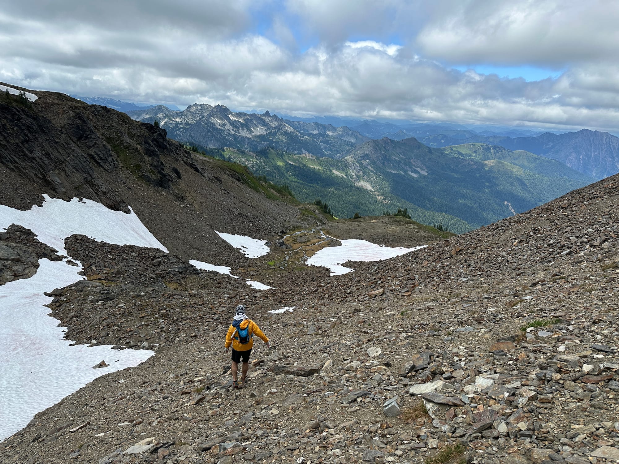
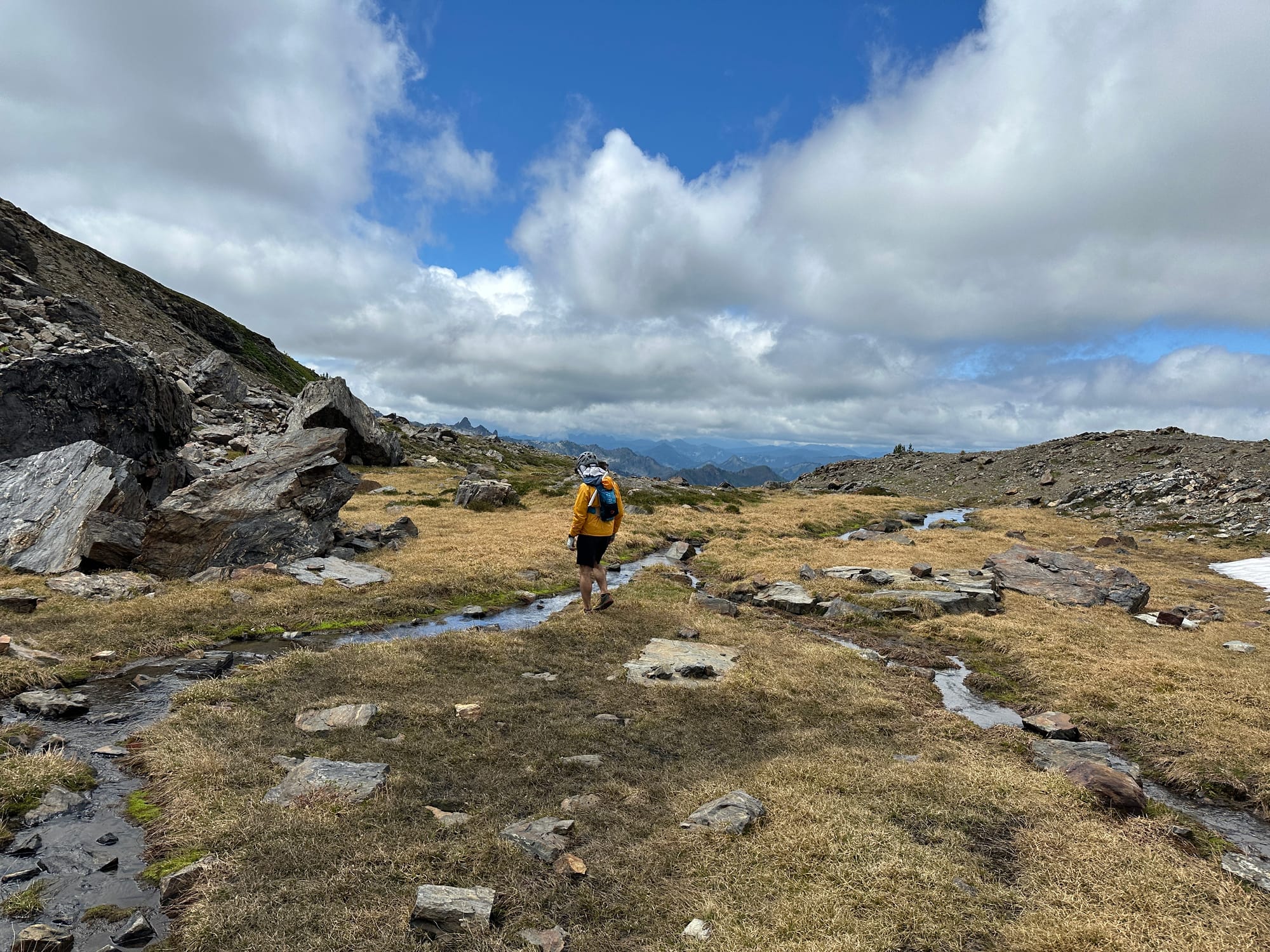
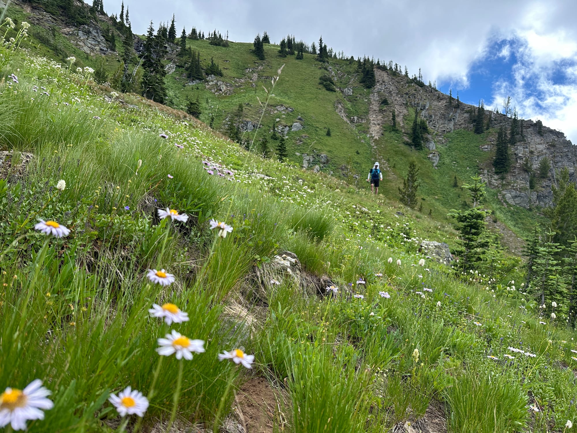
Descending back towards Wildhorse Creek Trail
After a slight double-back caused by traversing through the safest terrain, we were back on the trail. I was feeling fried by this point, and the idea of still having 8 miles left, even if they were on a quickly descending trail, weighed on me. I put in my headphones and pounded out the miles as quickly as I could, running section that wasn't uphill or overgrown.
I made it to mile 20 before my legs quit, I was close enough to smell the car, but the refused to continue running. I limped the last .6 miles to the trailhead, aching but ecstatic to have returned.
I appreciate Kyle for coming to me with this linkup, he's working his way through the Smoot's quickly and his eye for peak bagging inspires me to open up my search for routes to even more technical linkups. It was an epic mission, and despite the bad luck with the clouds was absolutely stunning. The Chiwaukums were completely outside of my radar, reminding me just how vast this beautiful place is that I get to call my home.