The Whittier Peakbagging Marathon
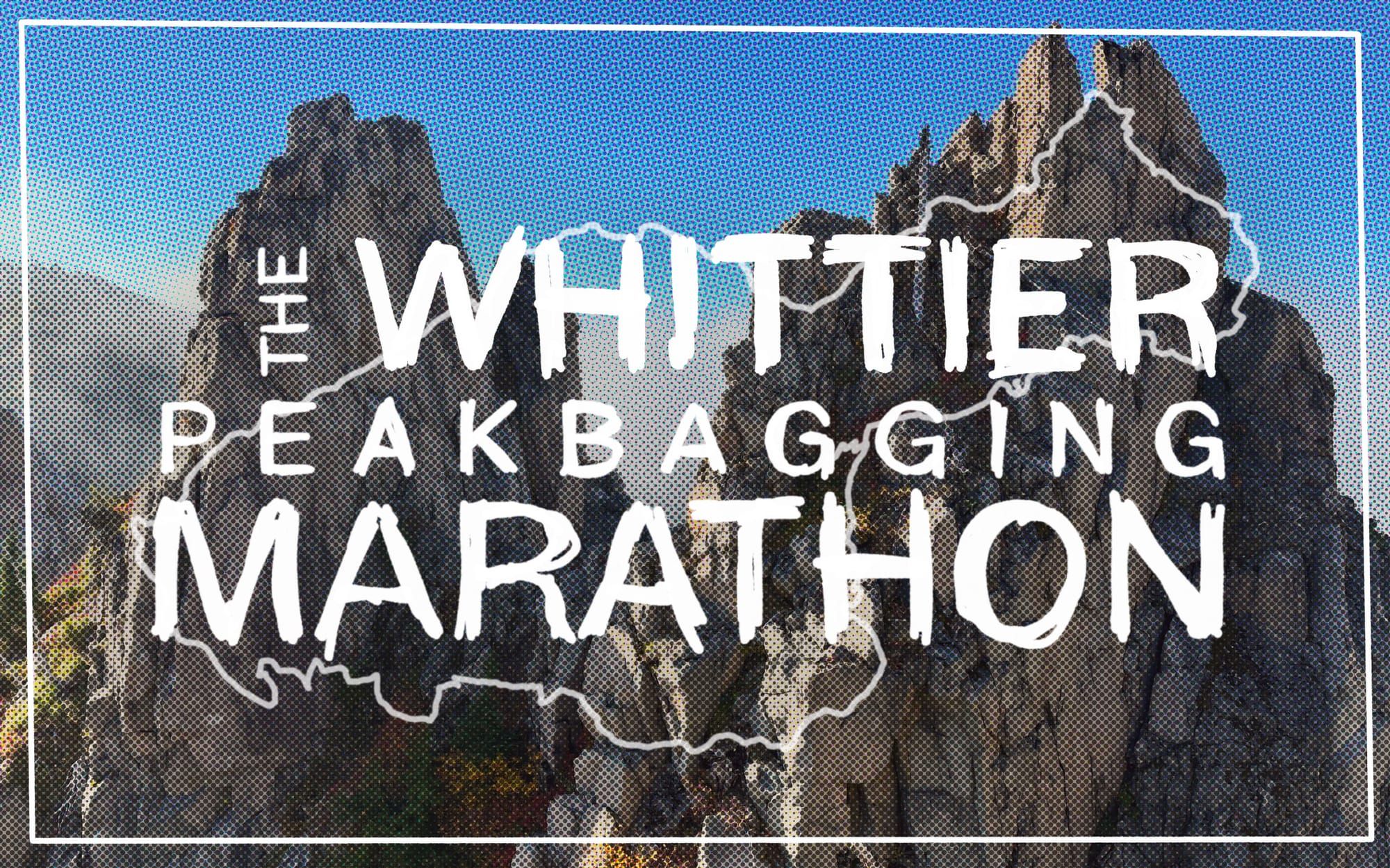
Mt. St. Helens sits at the western edge of the Cascades, lying amongst peaks that could be considered foothills when compared to the rest of the range, few of them even breaking 5,000 ft. Like it's "sibling" Mt. Adams, which lies only 30-odd miles to the east, the wilderness areas surrounding these two mountains are often overlooked by the mountaineers of the pacific northwest, who venture in only to climb the volcanos themselves.
I humbly admit to be part of this group of blind peakbaggers, having previously only set my sights only to their highest points, ignoring the gorgeous ranges beyond as a mere backdrop to the adventures above them. Today that record changes, as I have thoroughly fallen in love with the squat and rugged mountains lying just beyond Helens' breach.
A Marathon in the Mt. Margaret Backcountry
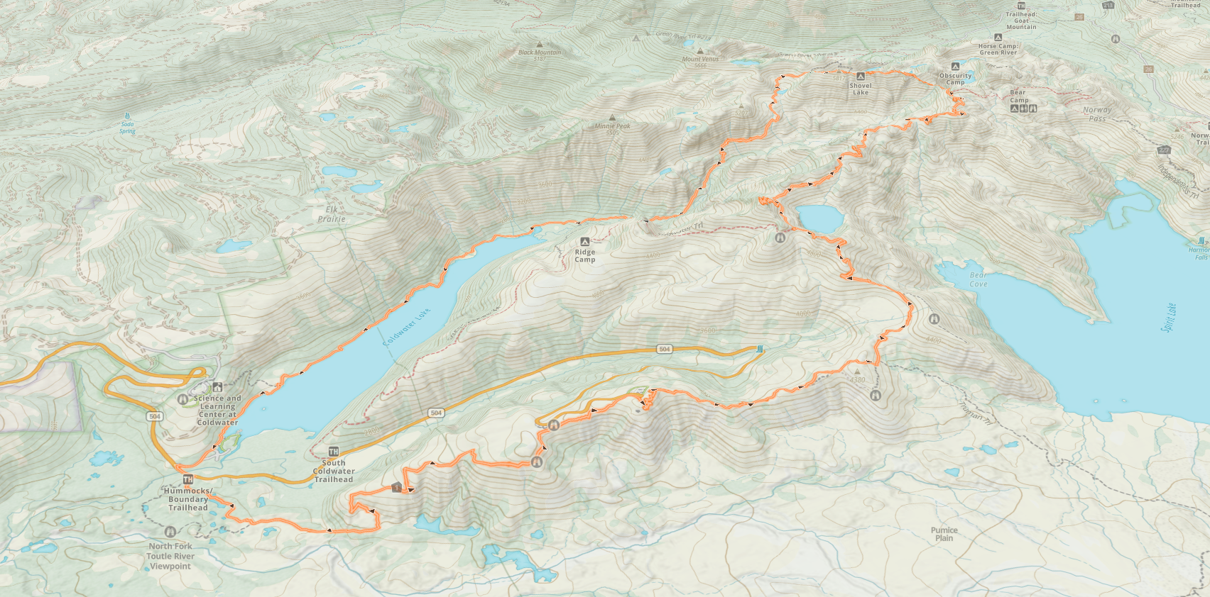
A furious mist surrounded the car when I awoke alone at the Hummocks Trailhead. The clock showed 3:00 AM and I had managed a respectable 5 hours of sleep that I tried to quickly blink out of my eyes in the dark. It was early, but the route I had ahead of me was bone dry and I wanted to get as much mileage done as I could before the sun rose and forced me to sweat through my water supply. With the wetness swirling outside my car windows though, my confidence that I would see the sun at all waned. Through a sliver of cell service I refreshed the weather forecasts I had been checking meticulously for the 48 hours prior. Nothing had changed. The cloud I sat in was forecasted to burn off as the sun rose. It only looked bad in the shine of my headlamp. Welp, there went my last possible excuse, it was time. I had 26 miles to run.
I have written here at length about my love of loops: the fresh joy of new sights ahead of you the entire day; the magic of arriving where you started, now facing the opposite way.
 Jared Jones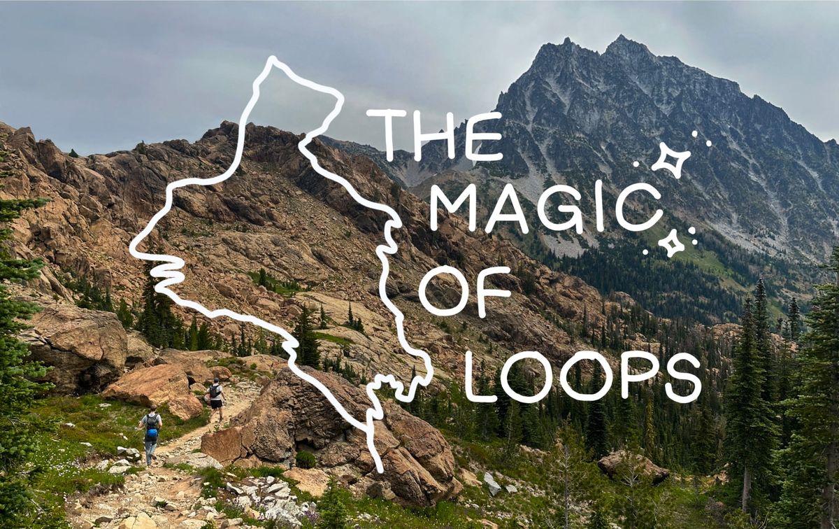
A couple of years ago I scoured the internet, thumbed through maps, and marked down nearly every plausible loop-option I could with my limited knowledge and resources. Most of them felt ridiculously out of reach at the time—it turns out combining trails in the cascades is difficult to do without being able to lay down a few dozen miles or shwacking through thick backcountry. One of these routes had seemed just on the edge of my budding mountain-endurance limits, a 17 mile round trip around the Mt. Margaret Backcountry. A summer passed, and then another. I found myself two years stronger, and still curious about this curly orange line sitting in my "loops" folder. By this point I had done routes longer than 17 miles quite a few times, so I took another look, and came away with something ridiculous; 26.5 miles, 3 peaks, and nearly 6,000 ft of gain. Looking at it on paper, the challenge was intoxicating. I had never done a marathon distance before, and here was my chance to prove I was up to the task.
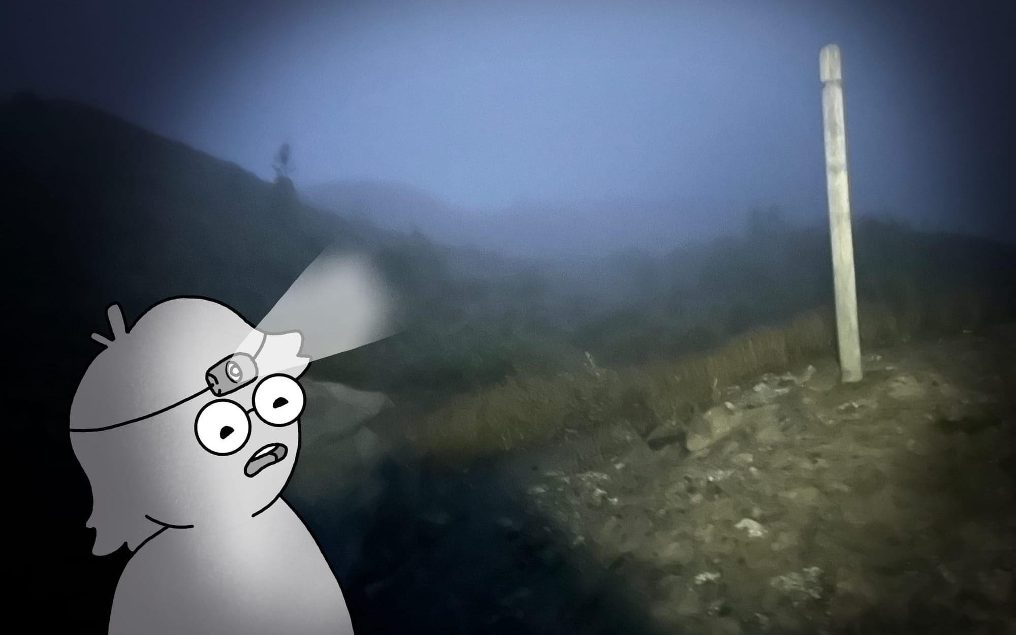
I set off into the mist, my headlamp illuminating a squall of angry droplets that prevented me from seeing more than a few feet ahead. I stared down at my feet, jogging slowly through the darkness seeing little more than the rocky trail and the surprisingly steep drops at it's edge. Luckily the trail was marked every couple hundred feet with tall poles that lit up like beacons even through the mist. Those, along with my GPS and the well defined trail, kept me on track and moving quickly through the night.
Around 5:30 AM I passed the Johnston Ridge observatory, which has been closed to the public for years awaiting fixes to the washed out road. It's emptiness was haunting in the pitch dark of the morning and I quickly hurried through the paved tourist trails that surrounded it, each bench and pullout surely offering a wonderful view of the Volcano that I could not see.
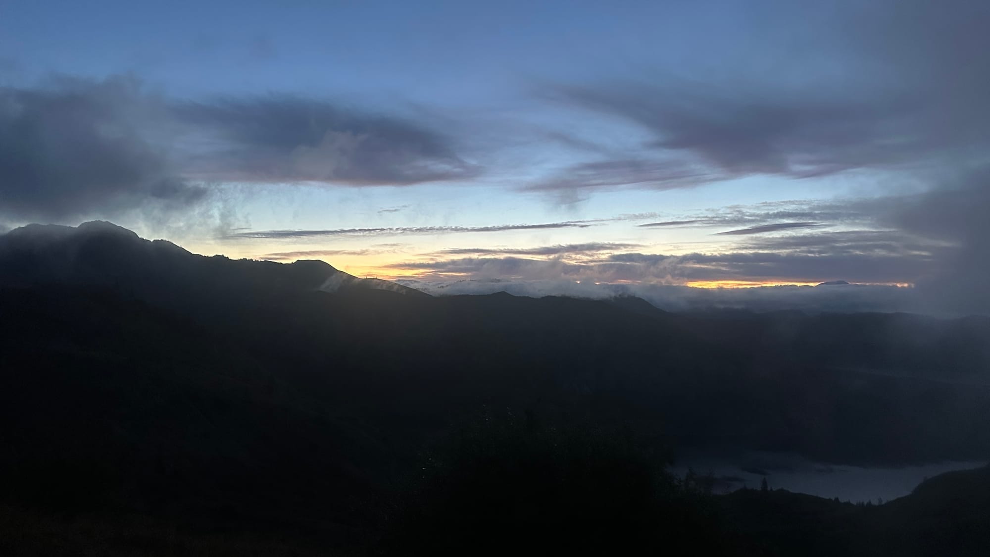
As I climbed higher on the ridge, my loneliness was abated by a chorus of bugling elk that lay somewhere just outside of my cone of vision. The sound is chilling, not only because elk are large and ungulates can deliver a mean kick, but because my brain associates it with Jurassic Park, whose sound designers used it (quite effectively) to create the otherworldly call of multiple dinosaurs. Every mile or so I would be hit with the overwhelming smell of animal, to which I would call into the darkness, "HEEEEEYO" to announce my presence, and was greeted back with another set of bugles. It took another few hours, until after the sun had risen, that I would finally see them grazing on the lush hills around me.
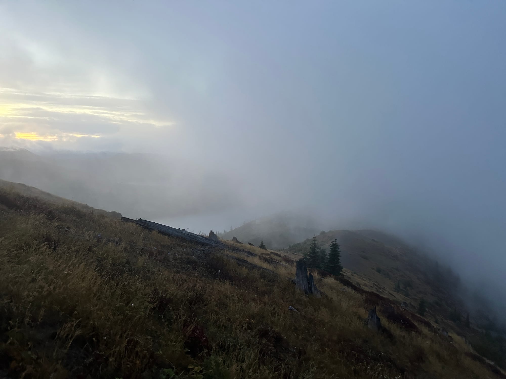
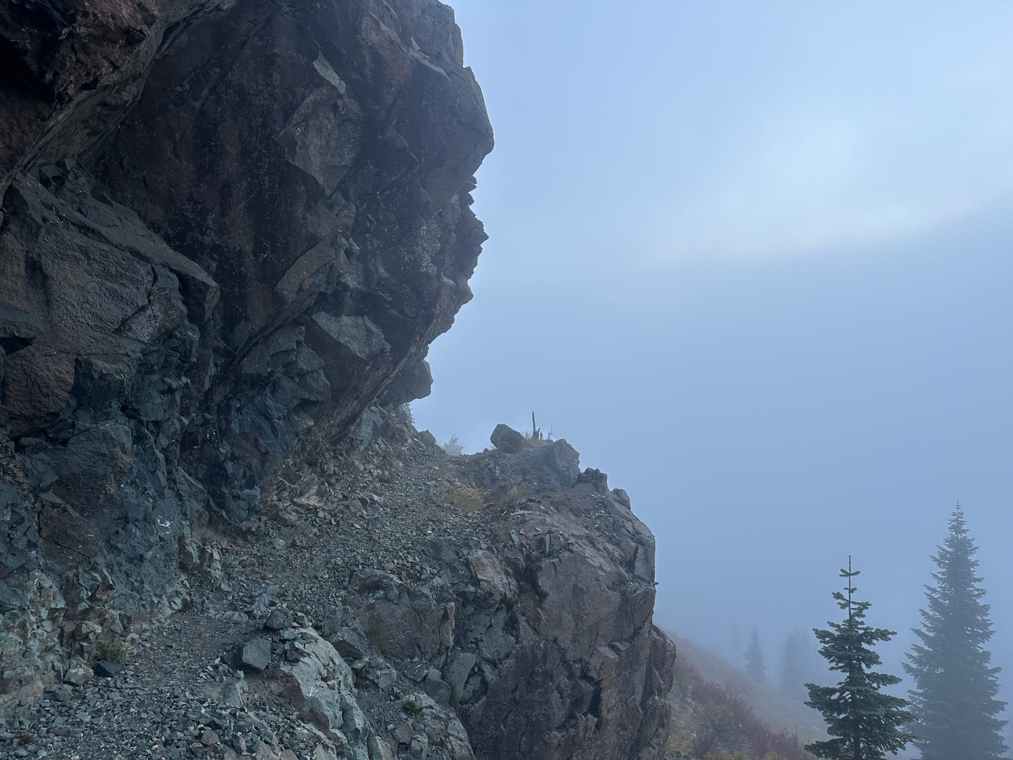
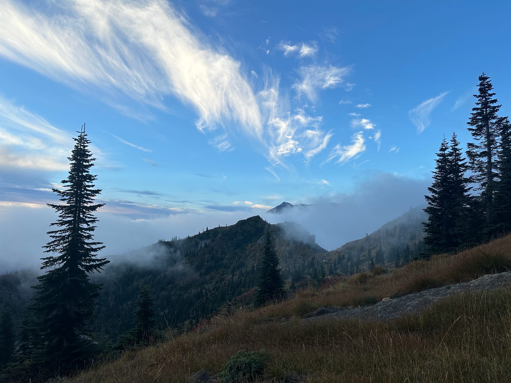
Traversing the ridge in the milky dawn
Light slowly bled into the fog as I climbed, revealing how rugged and wild the landscape truly was. Usually at 4,500 ft in Washington you are trapped beneath the thick branches of evergreens, yet here the hillsides were wide open. The land here, directly facing the breach, was covered by ash and debris less than 40 years ago in the catastrophic eruption of Mt. St. Helens, wiping out the forests that had existing prior and allowing for a new one to arise. Native plants reemerged, but changes to the soil and landscape shifted everything slightly, creating the low-lying alpine that was beginning to unfold around me.
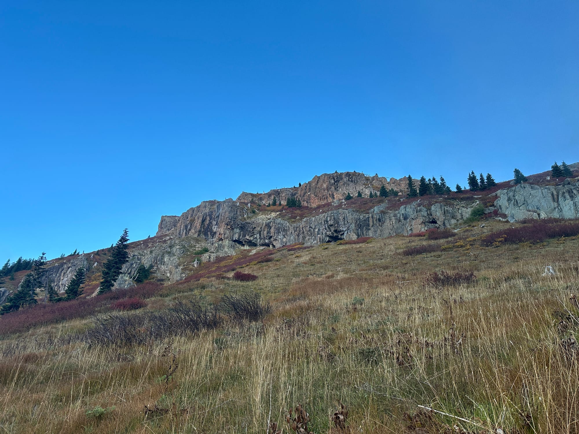
Climbing up to Coldwater Peak from the Boundary Trail
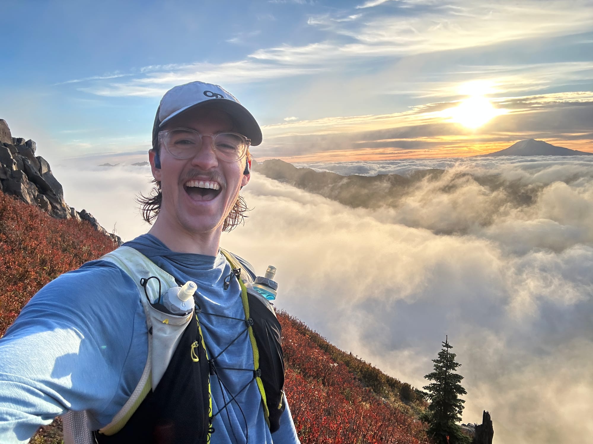
By 7:00 AM I was 10 miles in and standing beneath Coldwater Peak (5,735 ft), and above a thick layer of clouds. The sun was shining from its low position on the horizon, illuminating the rocky summit in a joy-inducing light. I had been holding onto an attitude of grim determination through the darkness that melted away as I spotted a mountain goat traversing lazily on the summit above. Despite spending every weekend in the mountains all across the state, I had not seen one of these majestic creatures in over a year. I ran giddily up the switchbacks, laughing like a kid on Christmas.
Helens, Adams, Hood, and Rainier all made their appearances as the clouds shifted in and out around me, hiding everything but the tallest of mountains. I sat below the summit of Coldwater for a few minutes, taking my first break of the day to refill my soft flasks from the 2L reservoir I was carrying and eat one of the homemade rice krispies I had managed to fit in my bulging trail vest. I wouldn't see a filterable water source for another 10 miles, making this one of the heaviest water carries I had ever had to do on a trail run in the wet PNW. Nevertheless, my plan was working well, the cool dark of the morning kept my intake down, I had drank less than a liter all morning, leaving me plenty to keep me moving as the day heated up.
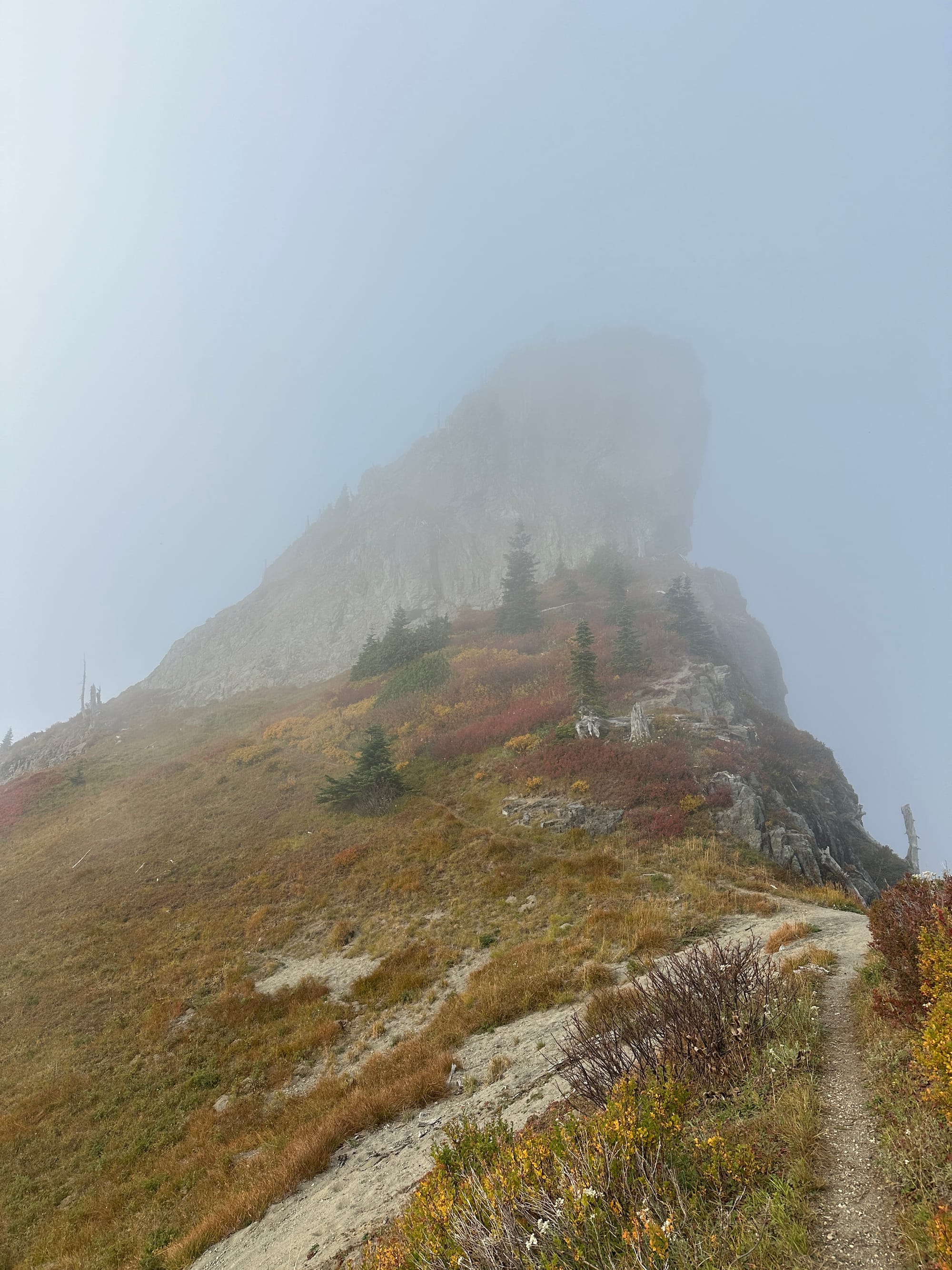
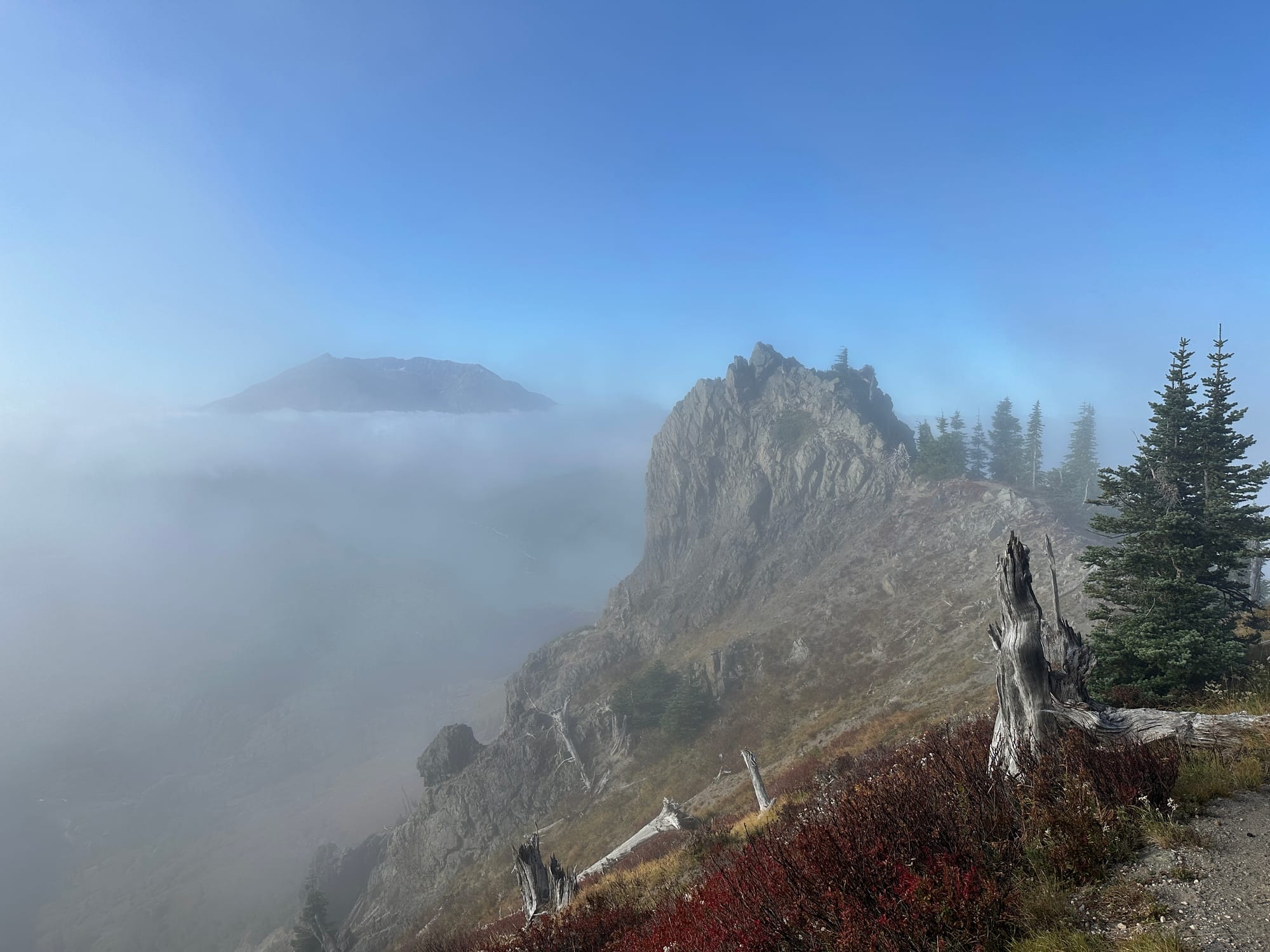
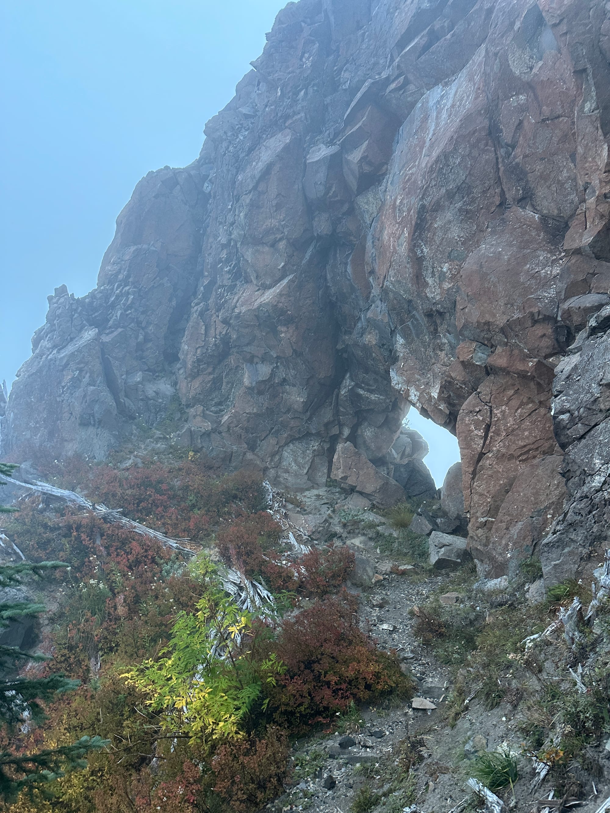
1. The east face of The Dome from the Boundary Trail 2. An unnamed point I scrambled along the trail facing Helens
The trail mellowed after I descended off of Coldwater Peak, transforming from a steady uphill climb to an undulating ridge that made for incredible running. After a mile I made it to the base of "The Dome" (5,705 ft), a small yet imposing peak jutting from the ridge line. I hadn't put this high-point on my route as it didn't have a well known or defined trail leading up to it, but after seeing it's rocky face emerge from the clouds I knew I had to find my way up. I side-hilled through steep heather to a rocky ridge on the southwest side and clambered my way up to the top. While the view was not much different than Coldwater I relished in a bit of off-trail travel and decided I would make it to the top of as many high-points along the ridge as I felt I safely could.
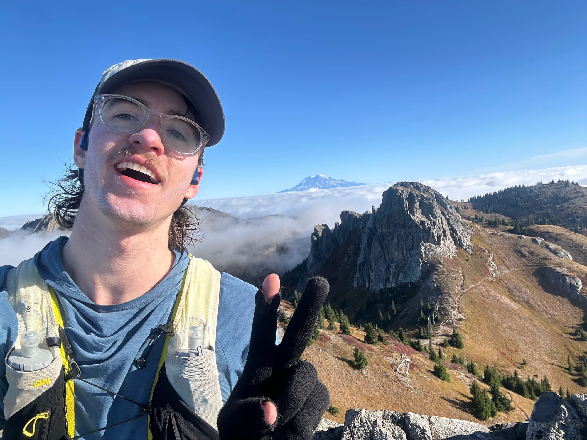
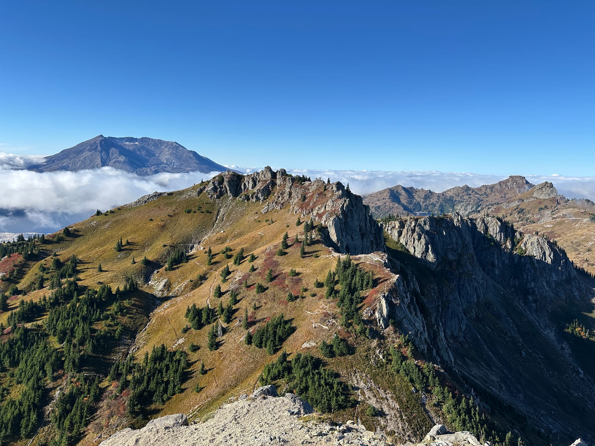
1. Mt Teragram and Mt. Rainier from the top of Mt. Margaret 2. The full ridge in view from Mt. Teragram
After another 2 miles of fantastic ridge running I stood below Mt. Margaret which had a nice little trail leading up. Just beyond it was Mt. Teragram (Margaret spelled backwards) which, similarly to The Dome, required me to find a path through the brush that avoided it's steep face. Luckily a goat path led up the northeast side making for fairly easy travel. I was 16 miles in and had already topped out 4 peaks, but the most challenging part of the loop was still to come...
The Whittier Ridge Scramble
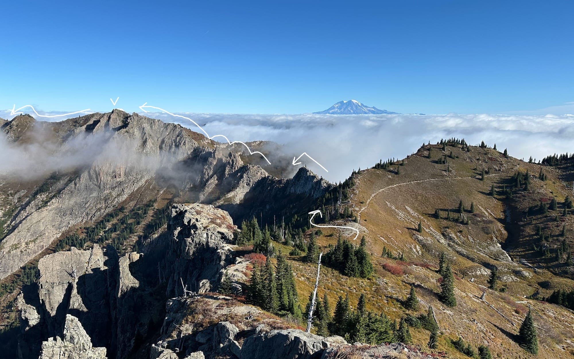
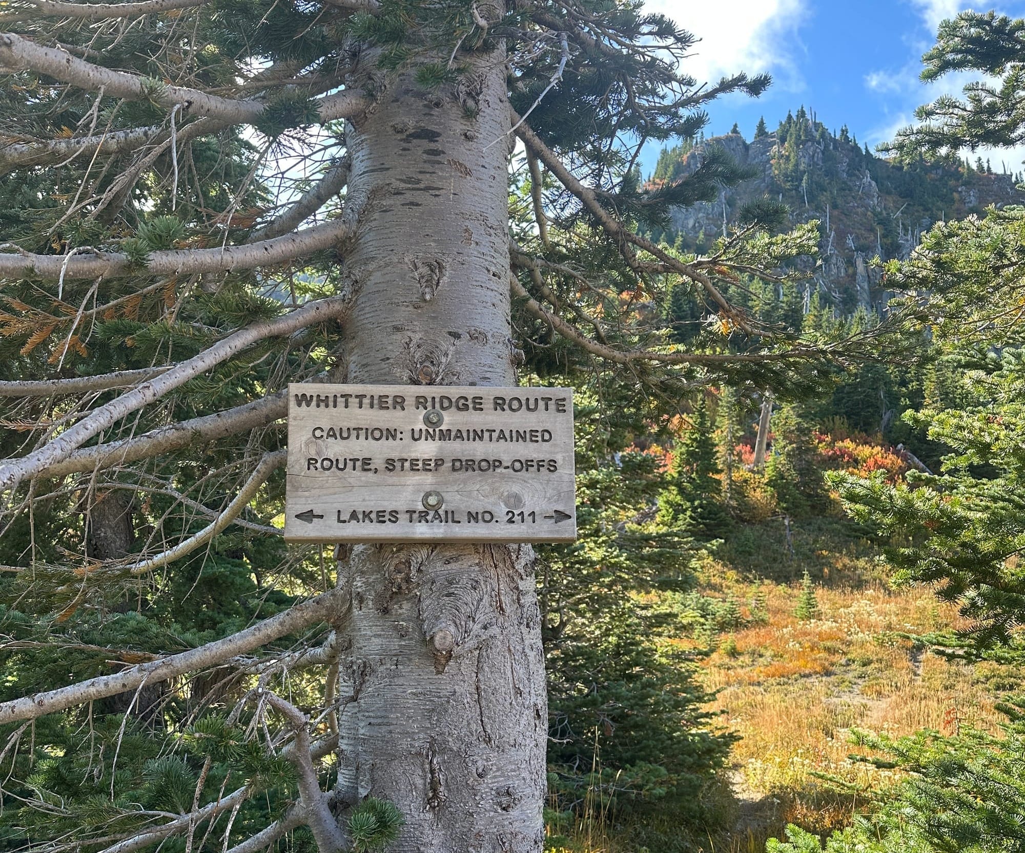
The original feature that had drawn me to this part of the state was Whittier Ridge. Affectionately known as "The Scariest Hike in Southwest Washington" it provides an reasonably well maintained trail across a dramatically sharp and rugged ridge. The entrance was marked with a simple sign noting: "Whittier Ridge route - caution: unmaintained route, steep drop-offs". This sign was not joking, what was to follow was severe terrain that kept me on 2nd and 3rd class with steep exposure for nearly 2 miles straight.
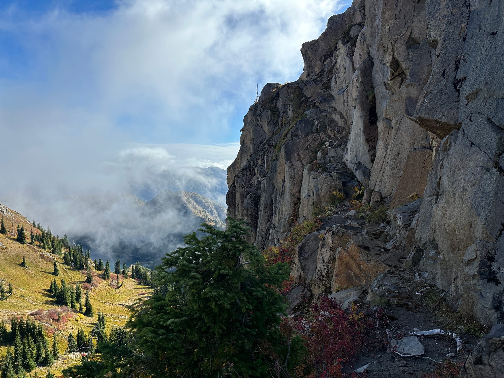
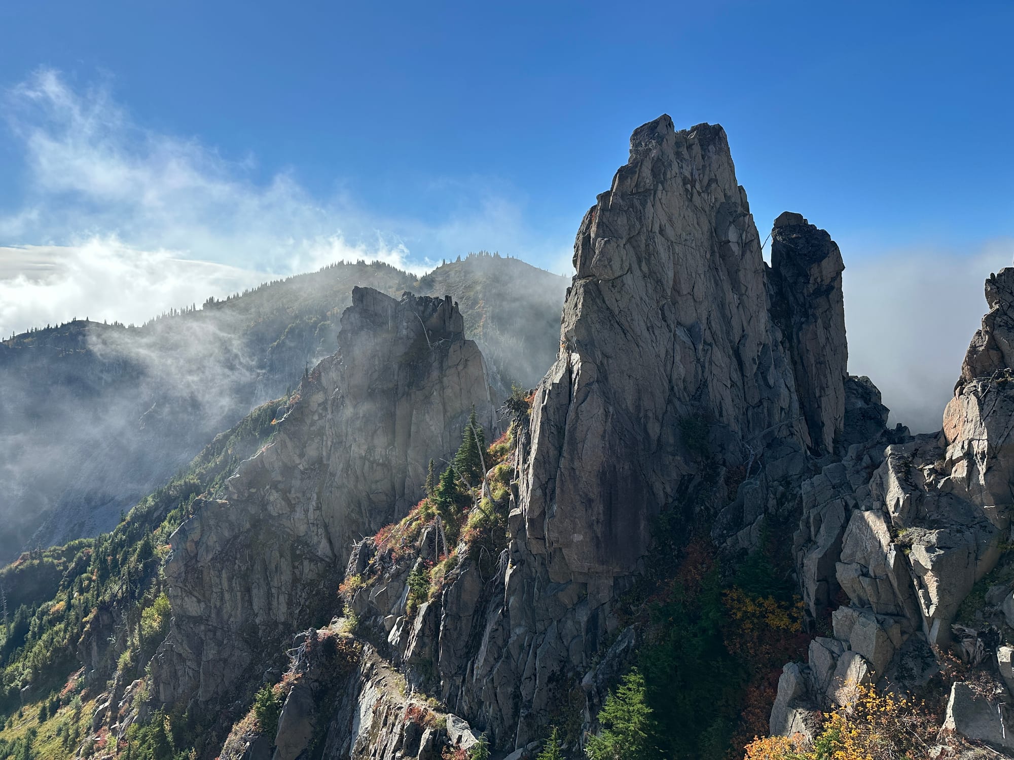
Sections of trail traversing across Whittier Ridge
Almost immediately after leaving the Boundary Trail I was thrust onto a shark fin of yellow rock, a light trail traversed the base, but in my excitement I scrambled upward to try my best to maintain the ridge-proper. I was quickly outmatched as the fin migrated up and down, requiring constant 4th class and some 5th to maintain. I scrambled back down onto the trail and continued my hustle, reminding myself I had many more miles to do.
The trail itself was no let down though, it transitioned quickly and often between 2nd and 3rd class. One moment having me walk a narrow trail (beside a 100+ ft drop), then in the next the trail would disappear and force me to scramble upwards into the unknown. Compared to the miles I had already done and would do after the section was short, but it felt infinite—How could a single section of trail provide so much interesting travel? Mount Whittier towered over the middle of the ridge, exposing on its opposite side even more scrambling remaining.
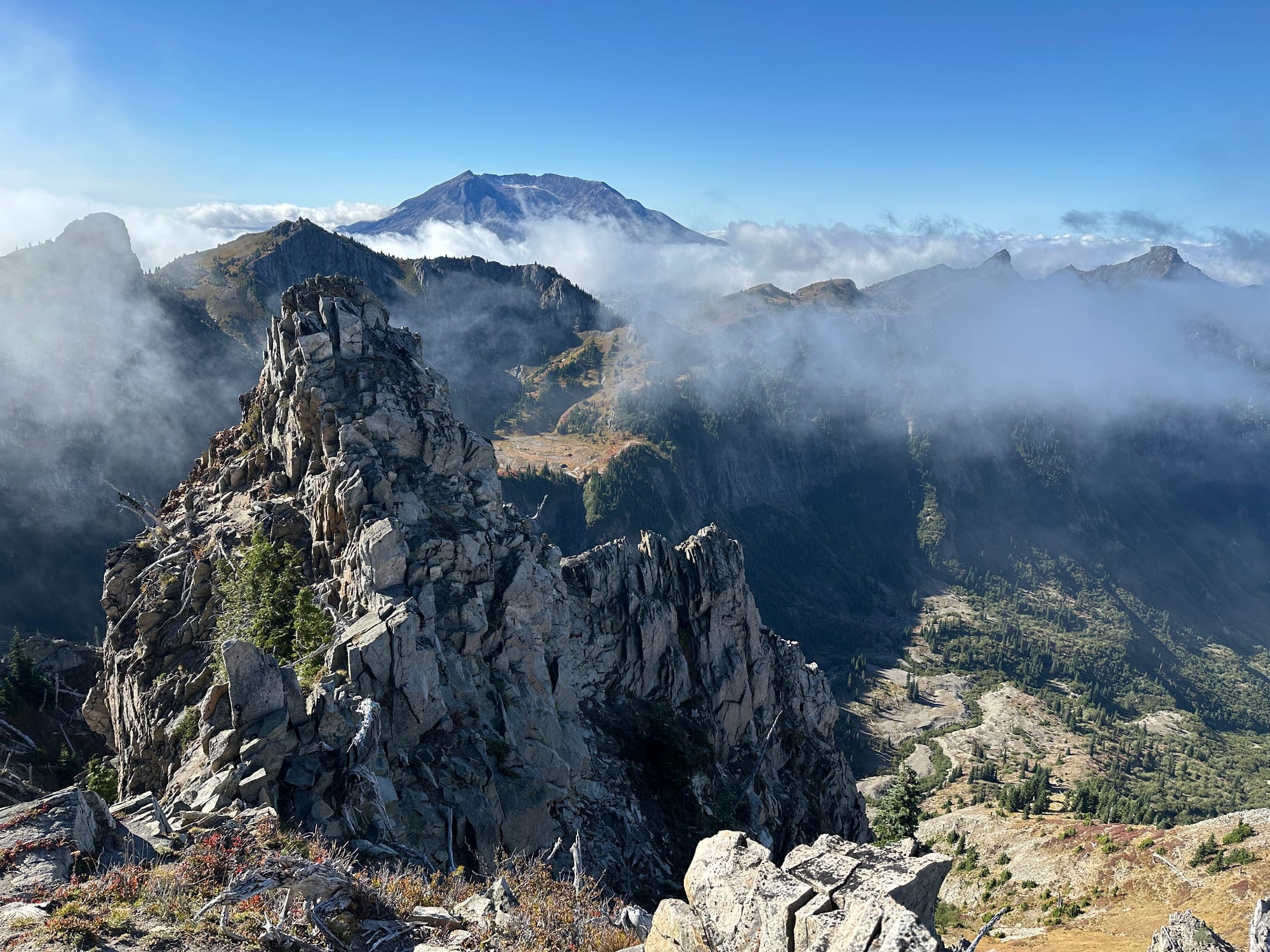
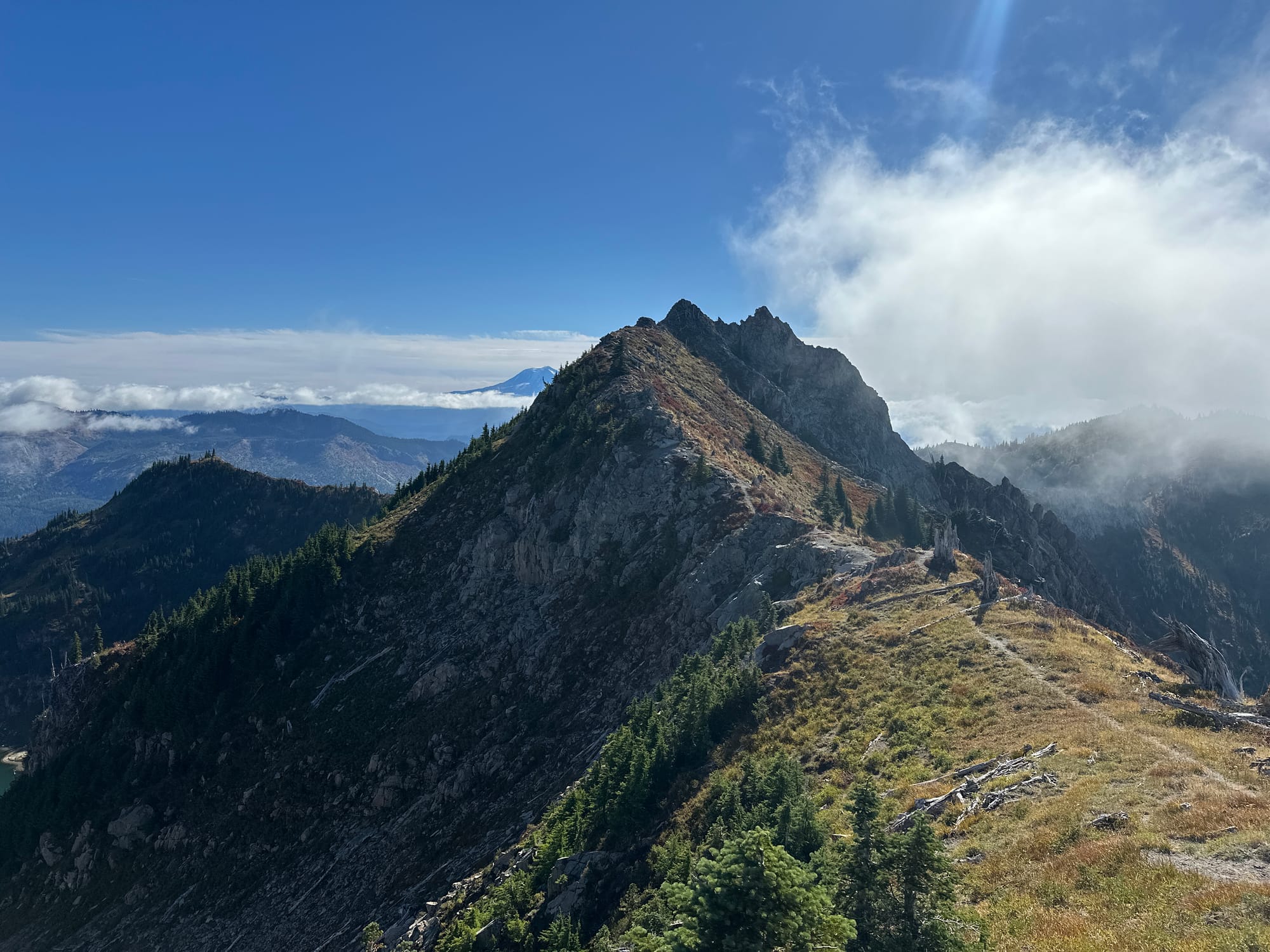
1. The view from Whittier Peak 2. The end of the ridge from the northwest
Once I emerged off of the ridge the terrain turned dry. The heat of the day had risen substantially and the ground turned from the lush meadow of the prior side to sandy dirt and scraggly plants. I was 19 miles in and finally I came upon running water. A small stream fed into Snow Lake (one of a million lakes in WA with this name) just after the descent from the ridge. I was down to my last liter and felt rather fine, but figured I should fill a bottle just in case so I stopped by the lakeside to enjoy the view with a pair of happy ducks.
Everything that remained was downhill, more than 2,000 continuous feet of it over the next 5 miles. My pace had been good, but travel on the ridge had brought my average mile time creeping up over 20 minutes, which I hoped to be able to make up on the descent.
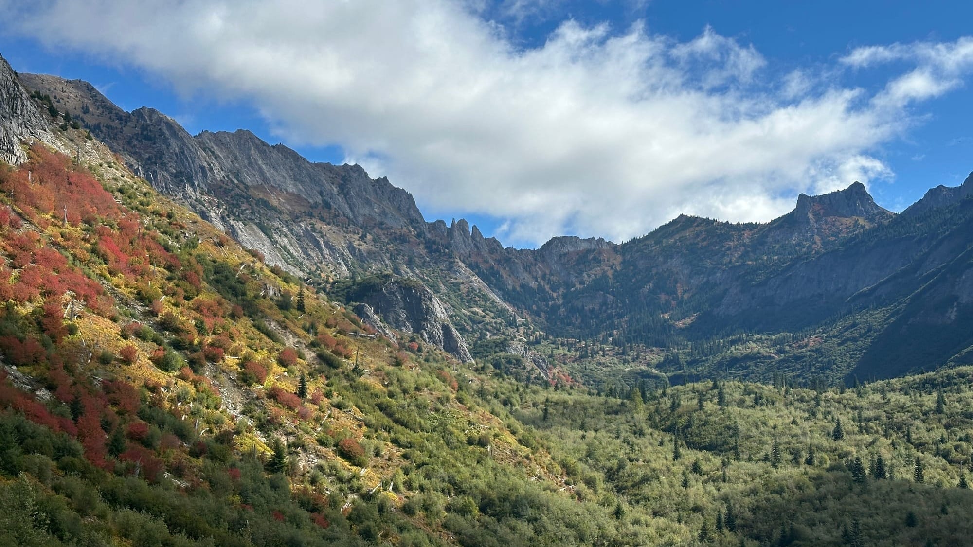
The trail didn't let up until I reached Coldwater Lake, the dry dirt was loose and washed out in many places. Large landslide paths cut the trail, some having a bit of trail work done to make them right, but others required careful crossing. I kept my pace moving, but didn't get to run all out until it flattened out at mile 22 where I could really grind out the miles. Descending this way was definitely the right choice for me, keeping so many of the "dry miles" in the dark of the morning had allowed me to basically not need to filter any water (I ended up drinking about 3,250 ml which was only a bit more than my original 3L carry), but undoubtedly this side of the loop was less stunning. To have finished coming down Johnston Ridge with Helens in the foreground would have been a spectacular sight. If you are backpacking, or just a stronger heat-trained runner I might recommend that instead, but know that going counter-clockwise was still a wonderful time.
I shot out from the trail into the Coldwater boat launch parking lot and ran the last half mile of road in pure elation. The stats had all been larger than I thought, after adding the additional peaks and other small offshoots my marathon had turned into 28 miles and my 6k gain had turned into 7.2k. Despite that I was only a smidge over my "A" goal of 9 hours, finishing the loop at 1:45 PM, in 9 hours and 41 minutes.
A Perfect Loop?
I will always be hunting for better and more interesting loops, but this route makes me wonder if I will be able to top it. It seemingly has it all:
- Significant amounts of runnable terrain
- Scrambling (with good quality rock)
- Multiple peaks to stand atop
- Wildlife (I saw multiple herds of elk and dozens of mountain goats!)
- Views!
I would recommend this route to anyone up for the mileage and severity of the trail. Despite the exposure none of the scrambling is very technical, nor is there much route finding to do since most of the day is spent on trails. The biggest con of this route is the lack of water, requiring a heavy carry, but this is fairly normal of high-ridge terrain, especially in the late summer.
The final stats were: 28 miles and 7,151 ft of gain
This route topped out on 6 named peaks: Coldwater Peak, The Dome, Mount Margaret, Mount Teragram, Mount Whittier, and Holmstedt Peak (as well as a few other provincial peaks). There is the opportunity to expand this route even further to include Blastzone Butte and Minnie Peak though these would sacrifice either the loop aesthetics or the runnable nature.
I also think there is a lot of time to be made up on this route, with better morning weather conditions I think I could have managed a sub 9 hour time, and with some more training 8 hours seems quite feasible (a very strong ultra runner could probably do it in 6).
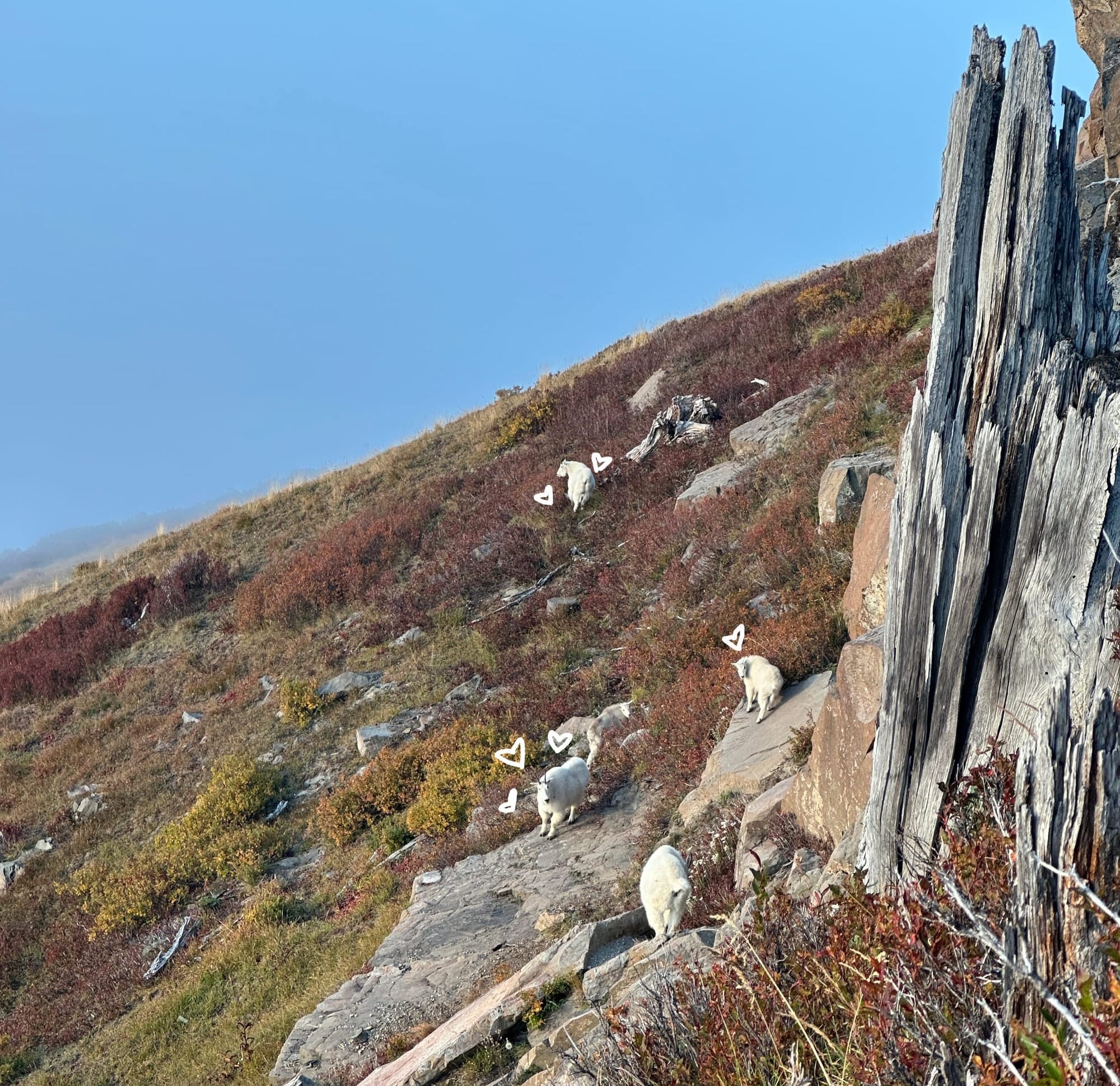
I will definitely be back out here, I'm going to be dreaming of those rolling ridges and endless views for some time. This area is quite under-the-radar compared to other similar spots in the cascades (I didn't see a single person until Coldwater lake) so if you do head out please keep it wild and stay safe!